
"AI and Satellite Data Unveil the Hidden Congestion and Illegal Activities of Ocean Vessels"
TL;DR
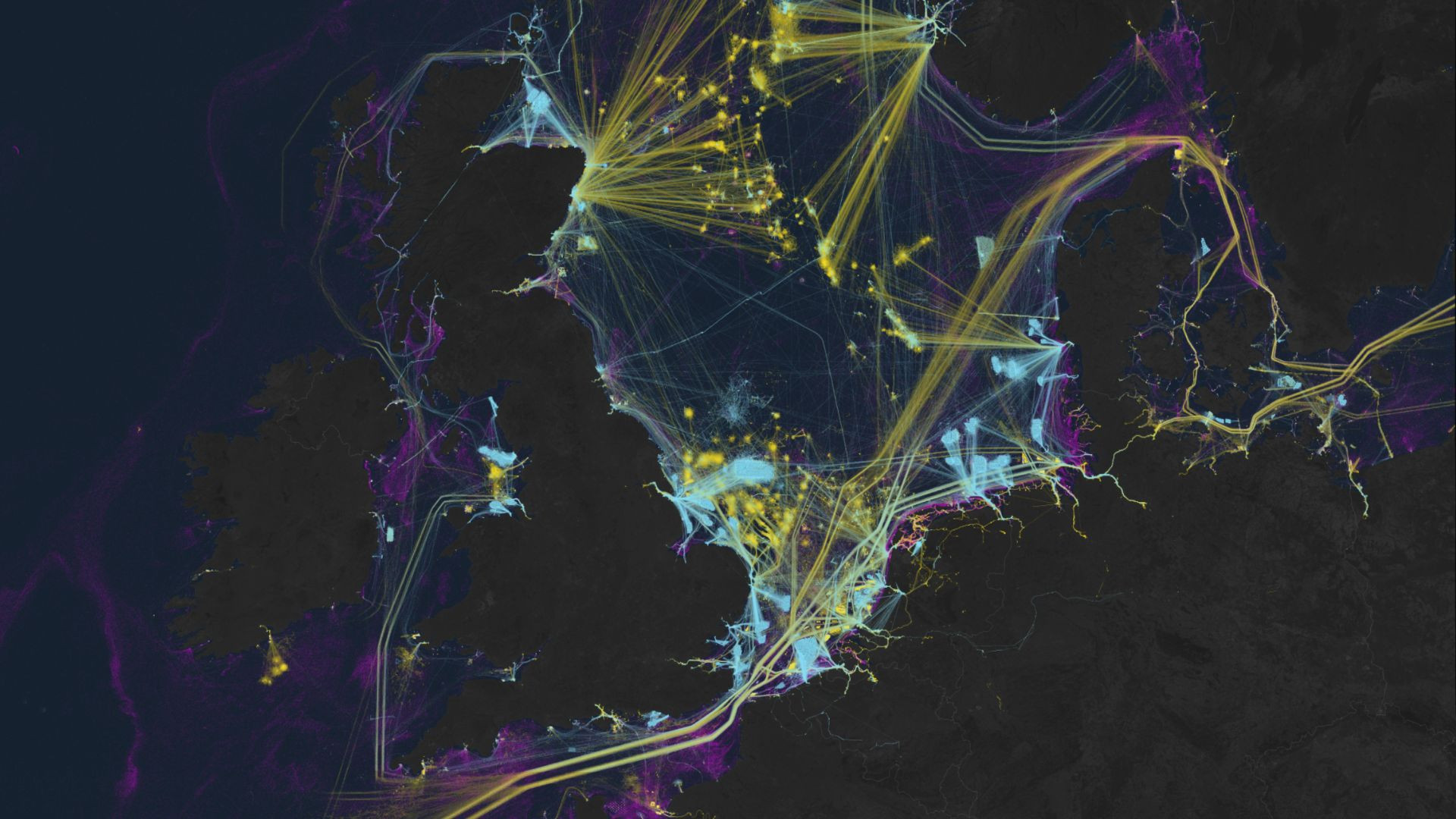
A new study utilizing satellite imagery has revealed extensive illegal fishing activities by the 'Ghost Fleet,' which accounts for 75% of the fish industry's unmonitored and unregulated operations. This breakthrough in mapping industrial activities at sea from 2017 to 2021 highlights the challenges in tracking maritime activities due to limited vessel-tracking systems and the lack of mandatory tracking devices on all vessels. The findings are significant given the ocean's vital role in global trade, food supply for over a billion people, and employment for 260 million in the marine fisheries sector.
Topics:businessenvironment-and-technology##environment-and-technology#ghostfleet#globalfisheries#illegalfishing#marineconservation#satelliteimagery
- AI, satellites expose 75% of fish industry's 'Ghost Fleet' looting seas Interesting Engineering
- Satellite mapping reveals extensive industrial activity at sea Nature.com
- New Mapping Finds the Oceans Are Filled With "Dark Vessels" Futurism
- How crowded are the oceans? New maps show what flew under the radar until now The Verge
- We used AI and satellite imagery to map ocean activities that take place out of sight, including fishing, shipping and energy development The Conversation
Want the full story? Read the original reporting
Read on Interesting Engineering