Satellite images reveal two major California wildfires threatening Simi Valley and Channel Islands
TL;DR Summary
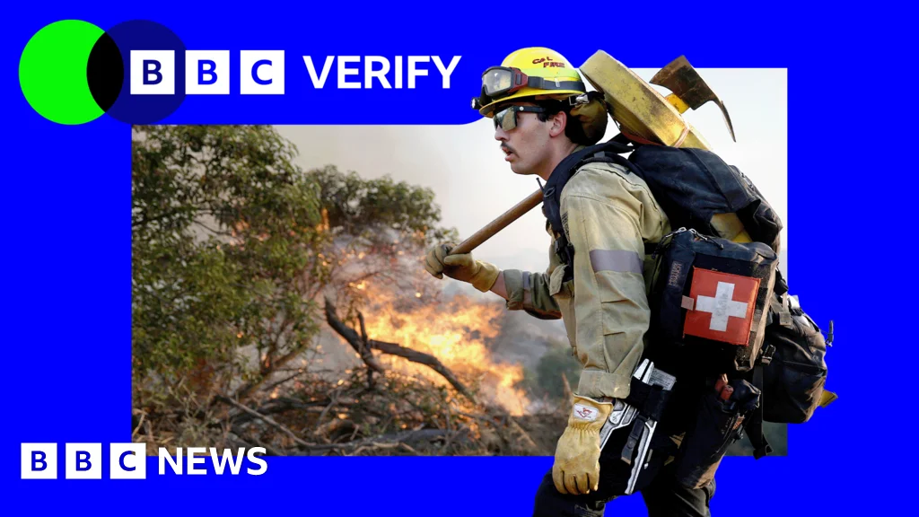
Satellite imagery shows two major California wildfires: the Sandy Fire near Simi Valley has burned about 1,364 acres with 750 firefighters and thousands evacuated, while a separate blaze on Santa Rosa Island has scorched roughly 14,600 acres and remains uncontained; winds helped spread the fires earlier, prompting evacuations of about 10,000 homes, warnings for an additional ~3,500, and school closures in Simi Valley. Firefighters and park staff, aided by Coast Guard rescue and night-flying helicopters, continue containment efforts.
- Simi Valley and Santa Rosa fires: Active California wildfires seen from space BBC
- Sandy Fire in Simi Valley: Crews race to extinguish blaze with more wind expected ABC7 Los Angeles
- Mandatory evacuations underway as wildfire threatens several homes and structures in Southern California Yahoo
- Activity Slows in Sandy Fire in Simi Valley. Evacuation Orders Remain. The New York Times
- Sandy fire growth stalls overnight, evacuation warnings lifting in Ventura County Los Angeles Times
Reading Insights
Total Reads
0
Unique Readers
5
Time Saved
3 min
vs 4 min read
Condensed
88%
636 → 78 words
Want the full story? Read the original article
Read on BBC