
Utahns urged to stay vigilant as flood advisories continue.
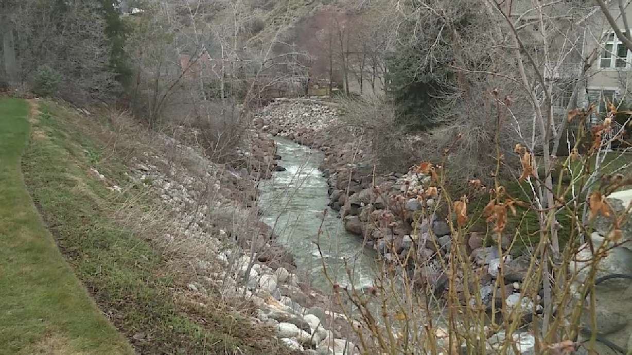
TL;DR Summary
Utah's Division of Emergency Management has been updating flood risk information on their website through the Risk Mapping, Assessment and Planning (Risk MAP) program, covering over 5,814 square miles in the northeast portion of the state. Users can type in their addresses and view different colored areas on the map to determine their flood risk. Officials encourage Utahns to check their local municipality for additional information and to prepare for potential flooding by moving valuables to higher floors and ensuring downspouts are flowing away from their homes.
- State officials encourage Utahns to know their risk by checking Utah flood risk maps KSL.com
- Flood advisory issued for Emigration Creek as weather warms Salt Lake Tribune
- Hundreds of Utahns help fill sandbags in Salt Lake County KSL.com
- Sugar House Park pond overflows, but officials say it's doing what it's intended to do FOX 13 News Utah
- Flood advisory issued for Emigration Creek KSLTV
Reading Insights
Total Reads
0
Unique Readers
35
Time Saved
1 min
vs 2 min read
Condensed
72%
314 → 87 words
Want the full story? Read the original article
Read on KSL.com