
Neighborhood cameras on a map: DeFlock reveals Flock and other surveillance devices nearby
TL;DR Summary
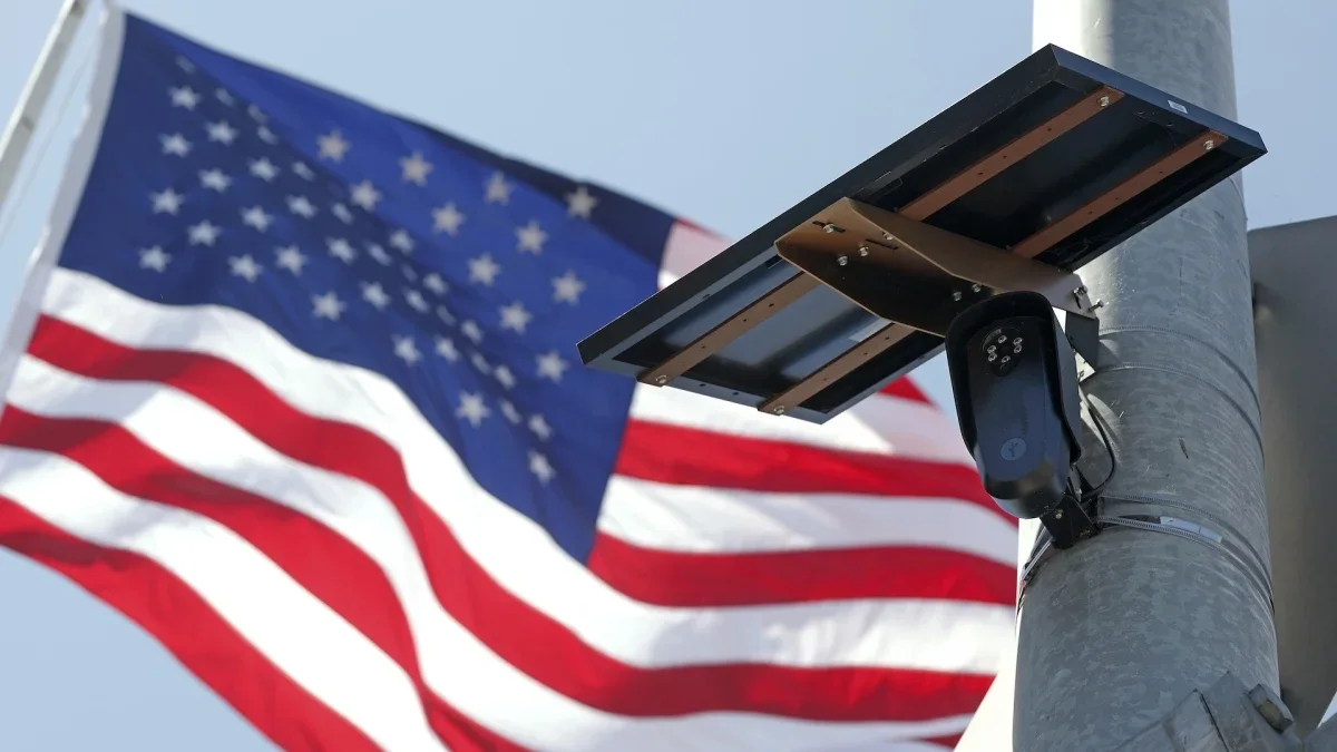
DeFlock Maps is a crowdsourced tool using OpenStreetMap data to show where Flock Safety license-plate cameras—and other surveillance devices—are located in your neighborhood, aiming for transparency in expanding surveillance. The project tracks about 129,000 devices, with roughly 106,000 identified as Flock cameras, highlighting privacy concerns over mass surveillance; DeFlock says it collects no user data and only shares what volunteers upload, while Mashable notes Flock’s nationwide network and its deployment by agencies and organizations.
- This map shows how many Flock cameras are in your neighborhood Mashable
- Flock Cameras Can Track Every Car in America. Police Love Them. Citizens Don’t. The New York Times
- 'Americans just don't want to be surveilled': Growing backlash against North Texas Flock cameras KERA News
- Baton Rouge police credit license plate cameras with helping solve crimes WBRZ
- ‘Work boots and Subarus’: Local officials say the backlash against Flock cameras is becoming bipartisan Politico
Reading Insights
Total Reads
0
Unique Readers
22
Time Saved
3 min
vs 4 min read
Condensed
90%
770 → 74 words
Want the full story? Read the original article
Read on Mashable