
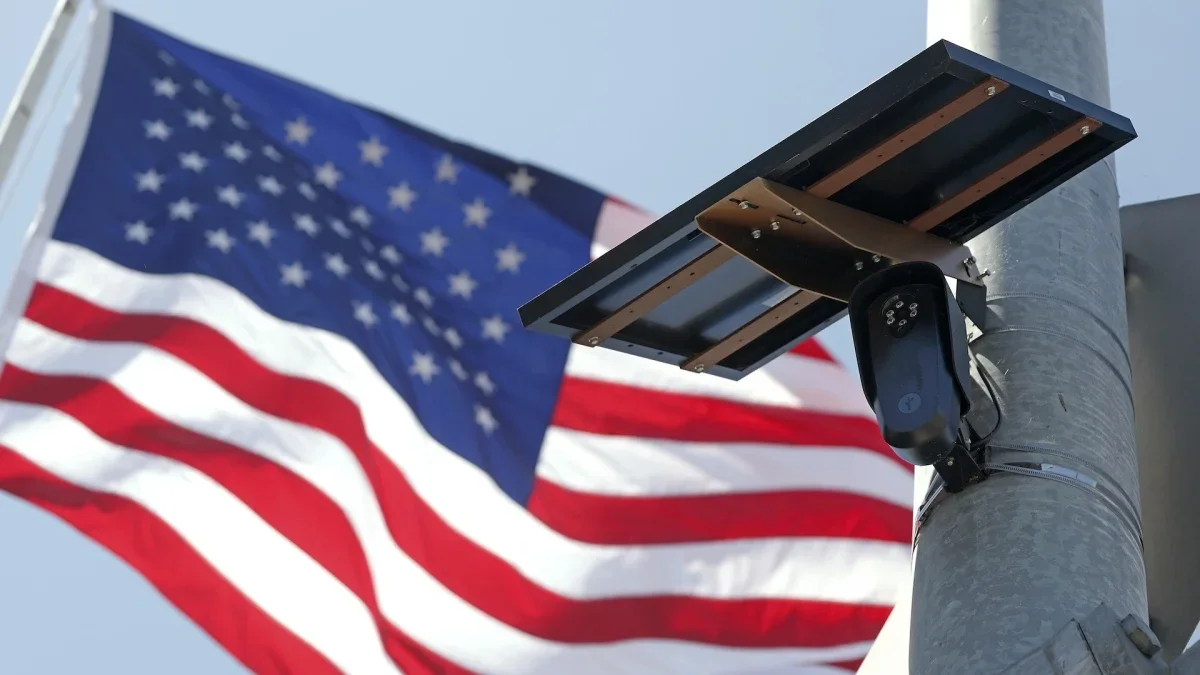
Neighborhood cameras on a map: DeFlock reveals Flock and other surveillance devices nearby
DeFlock Maps is a crowdsourced tool using OpenStreetMap data to show where Flock Safety license-plate cameras—and other surveillance devices—are located in your neighborhood, aiming for transparency in expanding surveillance. The project tracks about 129,000 devices, with roughly 106,000 identified as Flock cameras, highlighting privacy concerns over mass surveillance; DeFlock says it collects no user data and only shares what volunteers upload, while Mashable notes Flock’s nationwide network and its deployment by agencies and organizations.