
Record Rainfall Triggers Evacuations and Dam Breach Fears in New Mexico
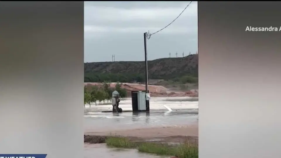
Unprecedented rainfall in southern New Mexico has forced the evacuation of five communities in Doña Ana County as officials warn that McLeod Dam is in imminent danger of breaching. Heavy rains, reaching rates of up to four inches per hour, have caused rivers to overflow and major highways to close. Residents are currently sheltering at two designated community centers while authorities monitor the structural integrity of local dams and levees.
Key points
- Doña Ana County issued mandatory evacuation orders for the communities of Hatch, Rincon, Garfield, Salem, and Placitas due to life-threatening flash flooding.
- Officials have warned that McLeod Dam is in imminent danger of breaching, prompting fears among residents that the structure may fail if rainfall continues.
- The National Weather Service reported rainfall rates as high as four inches per hour in the upper Hatch Valley, creating a significant threat of flash flooding in arroyos and low-lying areas.
- New Mexico Department of Transportation closed NM 187 and NM 185 due to flooding and debris, with NM 187 deemed impassable between mile markers 6 and 8.
- Evacuated residents were directed to the Radium Springs Community Resource Center and the Doña Ana Community Resource Center, with county administrative offices closing at 4 p.m. on Tuesday.
Background
The current crisis echoes the devastating Hatch flood of 2006, which occurred 20 years ago in August and remains a significant part of local memory. While recent regional evacuations have been driven by wildfires in Nevada and California, this event is distinct, caused by extreme precipitation rather than fire. The archive does not contain prior reports on McLeod Dam, indicating this is a new structural threat.
How outlets are covering it
KOAT emphasizes the human impact, highlighting farmer Alessandra Analis’s loss of crops and the community’s unpreparedness for such sudden water levels. The Las Cruces Sun-News provides detailed logistical information, including specific road closures, shelter locations, and the expansion of evacuation orders to include Placitas. NewsChannel 10 broadens the scope to the Texas Panhandle, noting that while New Mexico faces dam risks, the Texas side of the border is dealing with widespread road closures and disabled vehicles due to similar rainfall patterns. The Santa Fe New Mexican source was inaccessible due to a technical error and provided no substantive reporting.
Why it matters
The potential failure of McLeod Dam poses a severe threat to downstream communities and agricultural infrastructure. The scale of the rainfall, exceeding three inches per hour in some areas, indicates a high risk of catastrophic flooding that could outpace current emergency response capabilities. The closure of major highways like NM 187 isolates affected areas, complicating rescue efforts and the distribution of aid.
What to watch
Authorities are closely monitoring the structural integrity of McLeod Dam and other local levees as rain continues to fall. Residents are urged to remain in designated shelters and avoid attempting to cross flooded roadways. The county expects administrative offices to resume normal operations at 8 a.m. on Wednesday, but emergency services will continue to operate normally as conditions evolve.
- Flash flooding forced many to evacuate as water overtopped dams and flooded rivers KOAT
- Heavy rain triggers urgent evacuations in New Mexico Las Cruces Sun-News
- Texas in bull's-eye of dangerous, tropically enhanced 1,500-mile flood threat covering 11 states FOX Weather
- Floodwaters strike across New Mexico, with more rain in the forecast Santa Fe New Mexican
- Flooding causes road closures around the Texas Panhandle, Eastern New Mexico NewsChannel 10
Want the full story? Read the original reporting
Read on KOAT