
"South-Central Pennsylvania Braces for Accelerating Winter Storm: Weekend Forecast and Local Impact"
TL;DR Summary
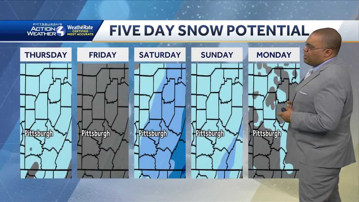
A West Coast storm is expected to bring snow showers to Pittsburgh by Saturday noon, with a potential 1 to 3 inches of accumulation. The weather will start off cold with flurries on Thursday, clearing up in the afternoon, and temperatures will remain in the 30s. Friday will be dry, but the weekend forecast includes an impact day on Saturday due to snow showers in the afternoon and evening, followed by a mix of rain and snow on Sunday. The storm's path is still uncertain, and updates will be provided as it progresses.
- Snow possible this weekend, here's what we know right now WTAE Pittsburgh
- Winter storm speeds up; See what's in the forecast now for south-central Pennsylvania WGAL Susquehanna Valley Pa.
- Hour-by-hour snow projections for Saturday snow in south-central Pennsylvania WGAL Susquehanna Valley Pa.
- Philadelphia snow forecast: What to expect from weekend nor'easter based on where you live FOX 29 Philadelphia
- Morning clouds give way to afternoon sun, turning breezy too ABC27
Reading Insights
Total Reads
0
Unique Readers
12
Time Saved
4 min
vs 5 min read
Condensed
89%
836 → 93 words
Want the full story? Read the original article
Read on WTAE Pittsburgh