Space Radar Maps Global Bridge Risks to Catch Failures Early
TL;DR Summary
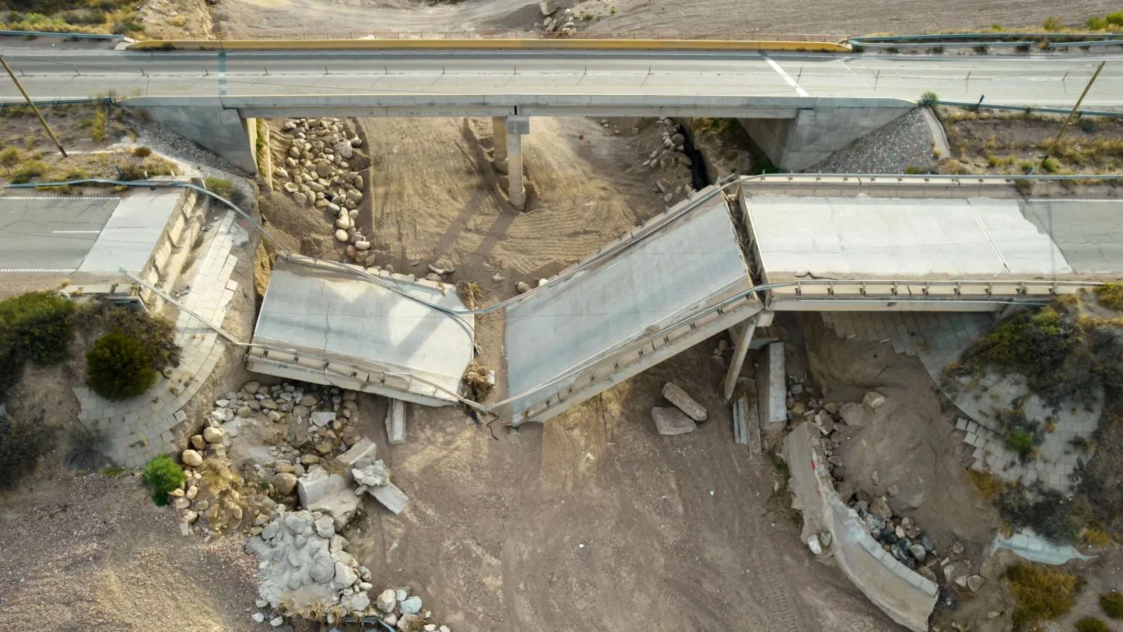
A global study of 744 bridges using MT-InSAR satellite radar shows space-based monitoring can reduce high-risk classifications by about one-third and enable ongoing observations for roughly half of the remaining risky bridges, with the most impact in Africa and Oceania. By combining satellite data with traditional SHM sensors (present on less than 20% of long-span bridges) and programs like Sentinel-1 and NASA's NISAR, engineers could regularly track millimeter-scale deformations across bridges worldwide.
Reading Insights
Total Reads
0
Unique Readers
34
Time Saved
4 min
vs 4 min read
Condensed
91%
791 → 72 words
Want the full story? Read the original article
Read on ScienceDaily