
NASA radar shows Mexico City's rapid subsidence threatening water and infrastructure
TL;DR
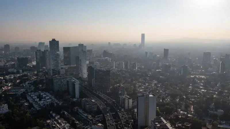
Mexico City is sinking at up to about 0.8 inches per month (roughly 9.5 inches per year) due to over-pumping of its ancient aquifer. NASA’s NISAR radar maps reveal the pace of subsidence, accelerated by dense development on clay-rich soils, and the ground drop is fracturing roads and infrastructure while threatening the city’s water supply for about 22 million residents, raising concerns of a potential day zero if groundwater loss continues.
- One of the planet’s biggest cities is sinking so rapidly it’s visible from space CNN
- Mexico City is sinking faster than ever, new NASA data reveals Mexico News Daily
- Mexico City is sinking up to 14 inches per year, satellite images show Space
- One of the world’s largest cities is sinking by nearly a foot annually — risking displacement of millions of citizens New York Post
- NASA Satellite Reveals Just How Fast Mexico City Is Sinking ScienceAlert
Want the full story? Read the original reporting
Read on CNN