Tag

Subsidence

All articles tagged with #subsidence

Radar Eyes on a Sinking City: NISAR Maps Mexico City's Rapid Subsidence
science19 days ago

Radar Eyes on a Sinking City: NISAR Maps Mexico City's Rapid Subsidence

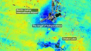
NASA's NISAR radar mission maps Mexico City's ongoing subsidence, showing areas sinking more than 2 cm per month in what is among the fastest rates globally, including near the main airport. The sinking stems from decades of groundwater pumping from an ancient lake bed, causing soil compaction and stress on streets, pipes and monuments like the Angel of Independence. With the water table dropping about 40 cm per year and roughly 40% of water lost to leaks, stopping subsidence would require halting groundwater extraction, a difficult trade-off given the city’s water needs. NISAR’s real-time data offers crucial insight for planning and climate-water risk in a sprawling metropolis.
NASA Map Reveals Uneven Sinking of Mexico City Up to 2 cm per Month
science19 days ago

NASA Map Reveals Uneven Sinking of Mexico City Up to 2 cm per Month

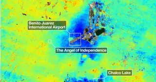
A NASA-ISRO satellite map shows Mexico City's subsidence is uneven, with some areas sinking more than 2 cm per month due to groundwater pumping and the city’s clay lake-bed substrate; preliminary data from Oct 2025–Jan 2026 highlight differential subsidence that threatens infrastructure and underscores the need for continued monitoring to guide policy and mitigation.

Satellite shows Mexico City's rapid ground subsidence
space-exploration20 days ago

Satellite shows Mexico City's rapid ground subsidence

Mexico City is sinking at as much as 14 inches (35 cm) per year due to groundwater pumping and the weight of its sprawling urban area atop an ancient lakebed. NASA–ISRO’s NISAR satellite—a dual-frequency radar mission launched in 2025—now monitors surface changes with centimeter precision, revealing subsidence patterns across the city and demonstrating the mission’s capability to track ground movement globally.

NASA radar shows Mexico City's rapid subsidence threatening water and infrastructure
environment21 days ago

NASA radar shows Mexico City's rapid subsidence threatening water and infrastructure

Mexico City is sinking at up to about 0.8 inches per month (roughly 9.5 inches per year) due to over-pumping of its ancient aquifer. NASA’s NISAR radar maps reveal the pace of subsidence, accelerated by dense development on clay-rich soils, and the ground drop is fracturing roads and infrastructure while threatening the city’s water supply for about 22 million residents, raising concerns of a potential day zero if groundwater loss continues.

Space-Based View Confirms Mexico City's Rapid Sinking
science22 days ago

Space-Based View Confirms Mexico City's Rapid Sinking

NASA’s NISAR satellite, using data from Oct 2025–Jan 2026, shows Mexico City sinking at about 24 cm per year (with hotspots like the airport and Angel of Independence), driven by groundwater pumping on an ancient lake bed and threatening subway, drainage, and historic monuments; the findings provide a powerful, global example of subsidence and a basis for mitigation and alert systems.

NASA satellite data reveal Mexico City's rapid subsidence near 10 inches annually
science22 days ago

NASA satellite data reveal Mexico City's rapid subsidence near 10 inches annually

Mexico City is sinking about 9.5 inches per year, per NASA's NISAR data from Oct 2025 to Jan 2026, making it among the fastest-subsiding cities. The subsidence, driven by groundwater pumping and a lake-bed foundation, threatens the subway, drainage, water supply, and housing, with some areas down hundreds of feet over time. Scientists plan building-level maps to guide mitigation.

Mexico City's rapid subsidence mapped from orbit
world24 days ago

Mexico City's rapid subsidence mapped from orbit

NASA’s NISAR satellite measurements show Mexico City sinking unusually fast, with rates up to about 0.78 inches (2 cm) per month in areas like the airport and Angel of Independence, totaling roughly 9.5 inches (24 cm) per year and more than 12 meters across a century, highlighting a major geophysical challenge that space-based monitoring could help mitigate and guide adaptation.

NASA's NISAR Radar Tracks Century-Old Sinking in Mexico City
science24 days ago

NASA's NISAR Radar Tracks Century-Old Sinking in Mexico City

NASA’s new NISAR radar satellite has mapped ongoing subsidence in Mexico City, with some zones sinking more than 2 cm per month as the city sits on a drained lakebed. The readings from Oct 2025 to Jan 2026 demonstrate NISAR’s ability to measure ground deformation in dense, cloudy environments and are openly available, highlighting continued urban infrastructure risks and offering a global tool for monitoring subsidence.

Underground Sinking Unveils Hidden Forces Shaping Turkey’s Central Plateau
science4 months ago

Underground Sinking Unveils Hidden Forces Shaping Turkey’s Central Plateau

Scientists find that a dense portion of the lower lithosphere beneath Turkey’s Konya Basin is slowly sinking into the mantle via multi-stage lithospheric dripping, causing persistent subsidence while the surrounding Central Anatolian Plateau uplifts. The conclusion, drawn from satellite data and seismic imaging and supported by lab models, explains long-term basin deepening and regional crustal dynamics.

Rising Seas Threaten Millions in U.S. Coastal Cities by 2100
environment1 year ago

Rising Seas Threaten Millions in U.S. Coastal Cities by 2100

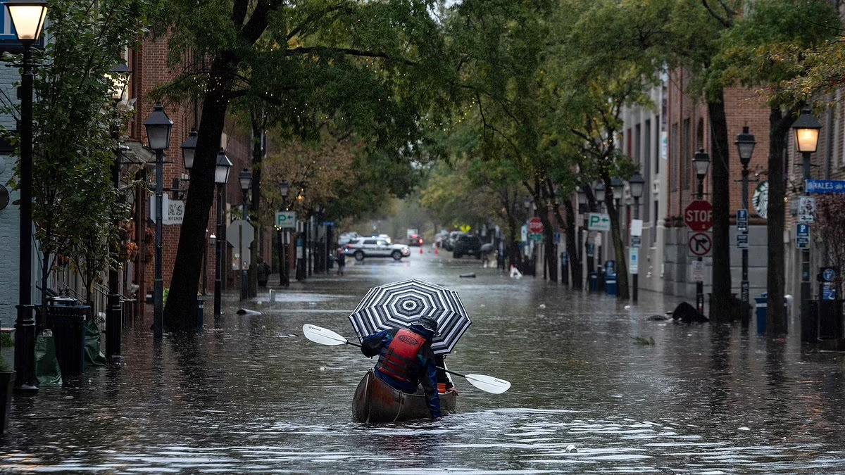
A US Geological Survey study warns that by 2100, rising sea levels and land subsidence could severely impact US coastal cities, affecting over 14 million people and causing over $1 trillion in property damage. The East Coast, including cities like Miami and New York, faces significant threats from flooding and sinking land, while California's San Joaquin Valley is experiencing record subsidence due to excessive groundwater extraction. Researchers emphasize the need for strategic planning and resilience strategies to mitigate these effects, though specific solutions were not detailed.

"Rapid Sinking: The Growing Threat to China's Major Cities"
environment2 years ago

"Rapid Sinking: The Growing Threat to China's Major Cities"

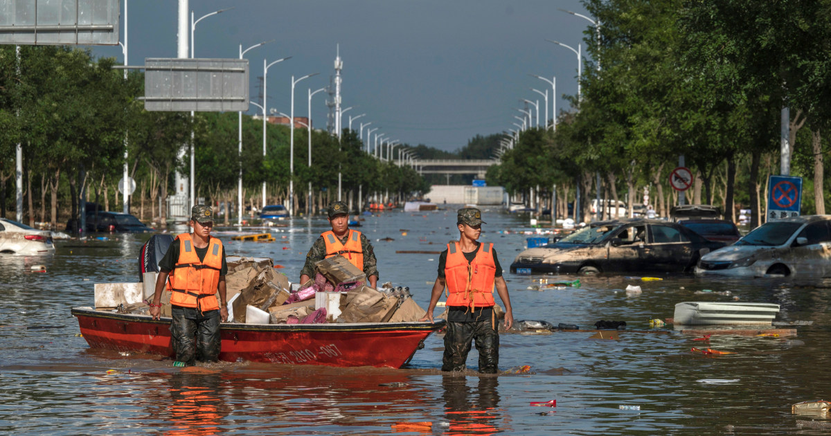
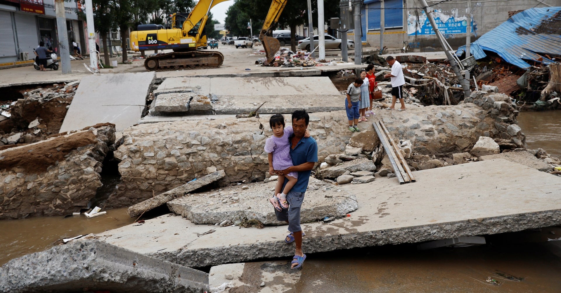
A study using nationwide satellite data found that nearly half of China's major cities are experiencing moderate to severe subsidence, with 16% of urban land sinking at more than 10 mm per year. This poses a significant risk of flooding, especially as sea levels rise, and could affect millions of people. The issue is driven by declining water tables and the weight of the built environment, costing China billions in annual losses. The problem is not limited to China, with other countries also at risk, and experts emphasize the need for both mitigation and adaptation measures to address this global challenge.

"Rapid Sinking: The Peril Facing China's Major Cities"
environment2 years ago

"Rapid Sinking: The Peril Facing China's Major Cities"

A study using nationwide satellite data has revealed that nearly half of China's major cities are experiencing "moderate to severe" levels of subsidence, with 16% of urban land sinking at a rate of more than 10 mm per year. This poses a significant risk of flooding, especially as sea levels continue to rise. The issue, driven by declining water tables and the weight of the built environment, is costing China billions in annual losses and could affect hundreds of millions of people within the next century. The problem is not unique to China, as other countries, including Indonesia, are also facing similar challenges. Mitigation and adaptation strategies, such as those implemented in Tokyo, will be crucial for addressing this widespread issue.