
"Analyzing the Impact of a Winter Storm Warning on Twin Cities Snow Forecast"
TL;DR Summary
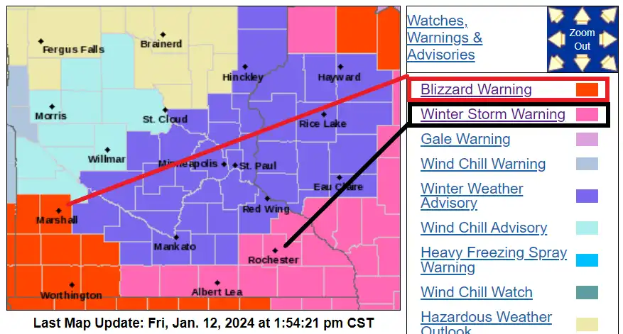
Forecast models, including the usually reliable European Centre for Medium-Range Weather Forecasts, missed a surge of dry air that kept most of the snow south and east of the Twin Cities, resulting in a significant forecast model bust. While heavy snow and wind hit areas south of the Twin Cities, the city largely missed significant snowfall. The forecast models overestimated snowfall due to a missed dry air intrusion, leading to a big change in the back edge of the snowfall. Bitter cold and wind are expected to continue, with subzero wind chills and temperatures around minus 10 in the Twin Cities and southern Minnesota.
- Anatomy of a forecast model bust for Twin Cities snow MPR News
- MN weather: Measurable snow for Friday FOX 9 Minneapolis-St. Paul
- Snow to Cover Nearly 60 Percent of the US at the Same Time Newsweek
- MNDOT preps for winter storm KARE 11
- Winter storm warning Friday includes southern Twin Cities MPR News
Reading Insights
Total Reads
0
Unique Readers
10
Time Saved
3 min
vs 4 min read
Condensed
86%
737 → 104 words
Want the full story? Read the original article
Read on MPR News