
"First Alert: Prepare for Severe Weather with Heavy Rain, Thunderstorms, and Strong Winds"
TL;DR Summary
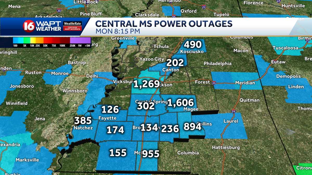
Central Mississippi is under a weather alert for heavy rain, storms, and strong winds with gusts reaching up to 50 mph, potentially causing power outages. The tornado threat is highest along Highway 98, east of Interstate 55, the Pine Belt, and the coastline, with the possibility of winds exceeding 50 mph. The threat is expected to clear out by midnight, and residents are advised to download the WAPT app for weather alerts.
- Weather Alert Day: Heavy rain, thunderstorms and wind gusts up to 50 mph possible WAPT Jackson
- Severe Weather Coverage from WDSU WDSU New Orleans
- First Alert Weather Watch: What to expect Monday night into Tuesday 23 WIFR
- FIRST ALERT WEATHER DAY: Latest forecasts, watches, warnings, & power outages WDAM
- Mdot Storm Prep 16 WAPT News Jackson
Reading Insights
Total Reads
0
Unique Readers
8
Time Saved
4 min
vs 5 min read
Condensed
91%
829 → 72 words
Want the full story? Read the original article
Read on WAPT Jackson