A roughly 30-by-30-foot sinkhole opened outside a Malibu home reportedly linked to Nicolas Cage after days of heavy rain in Southern California; the driveway collapsed, emergency crews secured a gas leak, and no injuries were reported, though several homes on the street were deemed unsafe.
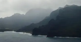
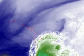
As Hurricane Lowell, a Category 3 storm, nears the Hawaiian Islands, Kauai residents brace for heavy rain and strong winds, with the island canceling its marathon and forecasters predicting 2–10 inches of rain statewide (island totals up to 14 inches in spots) as Lowell could pass near the area as early as Monday evening.
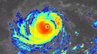
Hurricane Lowell remains a major Category 4 storm that will pass just west of the main Hawaiian Islands over Labor Day weekend, bringing heavy rainfall (4–10 inches across most of Hawaii, with up to 14+ inches in some areas), dangerous surf, and possible tropical-storm to hurricane conditions in parts of Kauai and offshore near the Papahānaumokuākea area; storm surge could reach 1–3 feet in Kauai and up to 1 foot on Oahu. Forecasters warn a small eastward track shift could worsen winds, so residents should monitor forecasts, heed warnings, and complete hurricane preparations this weekend.
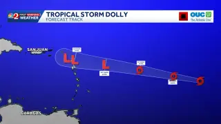
Tropical Storm Dolly is forecast to bring heavy rainfall to parts of the Caribbean this weekend as it weakens while moving west toward the Leeward Islands, Virgin Islands, Puerto Rico and Hispaniola; winds near 40 mph and a central pressure around 1007 mb; not expected to impact Florida and is expected to be short-lived.
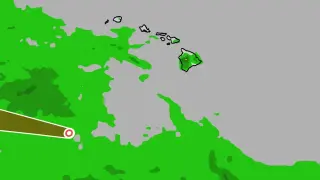
Hawaii’s Big Island is under renewed flood risk as heavy rain continues in the wake of tropical storm Lala, prompting advisories and possible road closures.
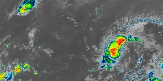
Tropical Storm Moke is bearing heavy rain toward Hawaii, bringing flood risks to islands still recovering from recent damage, with satellite imagery showing bands of rainfall and potential flash floods. Iselle has also formed far offshore in the eastern Pacific and could strengthen, generating large swells along Baja California.
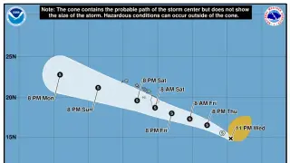
A new tropical depression, Two-C, formed southeast of Hawaii and is expected to strengthen into Tropical Storm Moke, tracking west-northwest toward the islands and bringing heavy rain (up to 15 inches on Hawaii Island) and dangerous surf, posing flood and mudslide risks this weekend.
Tropical Storm Lala has formed in the Central Pacific and is forecast to bring heavy rain (up to 20 inches possible), strong winds, and large surf to Hawaii over the weekend, with a hurricane watch issued for the Big Island. Residents on Oahu and other islands are urged to prepare, secure property, and monitor advisories as NOAA/NHC tracks Lala amid other Atlantic disturbances.
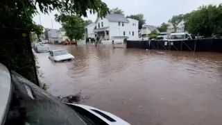
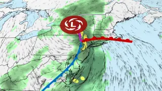
A slow-moving summer storm drenches the Northeast, expanding flash flood warnings into New England with 2–7 inches of rain forecast across the region. More than 11 million people are under flood watches as rescues, road closures, and flight cancellations mount from New Jersey to New England. The greatest risk is in parts of Massachusetts, Vermont and Connecticut, where Level 3 of 4 flood risk is in place, with heavy rain expected to continue into Wednesday before the system weakens and rain becomes more scattered.
A powerful summer storm will stall over the Northeast Tuesday through Thursday, bringing heavy rain and a flash flood threat with 1–4 inches expected in many areas and heavier bands possible; the New York–Philadelphia corridor and southern New England face the greatest risk, with urban flooding likely, potential power outages, downed trees, and travel delays. Winds could be strong, isolated tornadoes are possible, and the storm is expected to weaken and move out by Friday.
Forecasters warn of considerable to catastrophic flooding through Thursday along the U.S. 90 corridor west of San Antonio, with 10–20 inches of rain possible and multiple rivers (Pecos, Rio Grande, Nueces, Frio, Medina, San Antonio) at risk of flooding; hardest-hit counties include Medina, Frio, Uvalde, Kinney, Maverick, Zavala, Val Verde, Edwards, Real and Bandera, while areas outside the worst forecast could still see 2–6 inches. Kerrville has reported high water and road closures. The threat follows last year’s Kerr County floods and prompted a disaster declaration by Gov. Abbott for 59 counties. Residents are urged to monitor forecasts, avoid flooded roads, and have emergency supplies ready as new flash-flood warnings and shelters are reported across the region.
Heavy rain in New Jersey caused part of the ceiling to collapse at a BJ’s Wholesale Club in Oakhurst, trapping two briefly; they freed themselves and exited safely. There were 27 people inside at the time, and no injuries were reported. First responders coordinated a rapid evacuation as flood watches affected the region and rainfall totals nearby reached several inches.
Emergency crews responded to a partial roof collapse at BJ’s Wholesale Club in Ocean Township, likely caused by heavy weekend rain; about 20% of the rear roof collapsed, but all 27 staff and customers inside were accounted for and safe. Drivers were advised to avoid Route 35 due to flooding as the area remains a developing situation.
Tropical Storm Jangmi (taifū No. 6) is forecast to bring violent winds, high waves and extremely heavy rain across a broad swath of Japan—from Okinawa to Kyushu, Shikoku, Kinki, Tokai and Kanto—through Wednesday, raising flood and landslide risks; the government has opened a disaster liaison office and urged precaution and early evacuation under Japan’s new five-level alert system.
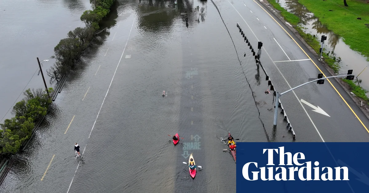
Heavy rains and high tides have caused significant flooding across California's Bay Area and southern regions, leading to road closures, rescues, and record-high King Tides, with ongoing weather warnings and impacts on transportation and daily life.