
"Louisiana Braces for Severe Weather: LSU, SU, and BRCC Shift to Remote Learning as Storms Approach"
TL;DR Summary
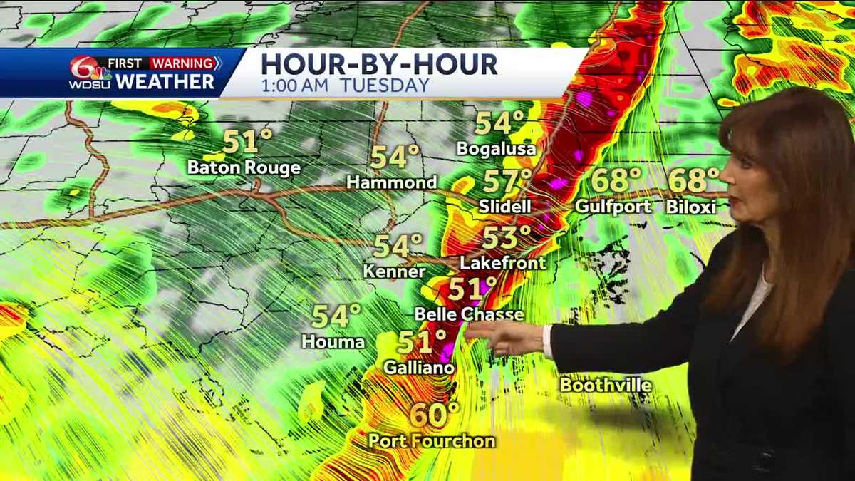
New Orleans is facing a threat of severe storms, tornadoes, and flooding overnight before colder weather moves in on Tuesday. A Tornado Watch is in effect until 7 am, with a heightened risk for strong tornadoes and strong winds. The area is also under a Flood Watch, High Wind Warning, and Wind Advisory. Temperatures will struggle to reach the lower 50s on Tuesday, with a sunny but chilly day expected. Another storm is forecasted for Friday, potentially bringing severe weather. The weekend will be sunnier and drier but chilly, with the possibility of wintry weather next week.
- Calmer but colder weather dropping in for the New Orleans forecast WDSU New Orleans
- Photos & video show hail falling during storm on MS Coast | Weather NOLA.com
- Treacherous travel in Louisiana today: First step for staying safe is 'Stay off the roads' WBRZ
- Severe weather very possible Monday night WDSU News
- LSU to close early due to threat of severe weather Monday; SU, BRCC, Southeastern will go remote WAFB
Reading Insights
Total Reads
0
Unique Readers
9
Time Saved
3 min
vs 4 min read
Condensed
88%
787 → 97 words
Want the full story? Read the original article
Read on WDSU New Orleans