
"Michigan's Winter Weather: Snow Accumulation and Rain/Snow Line Breakdown"
TL;DR
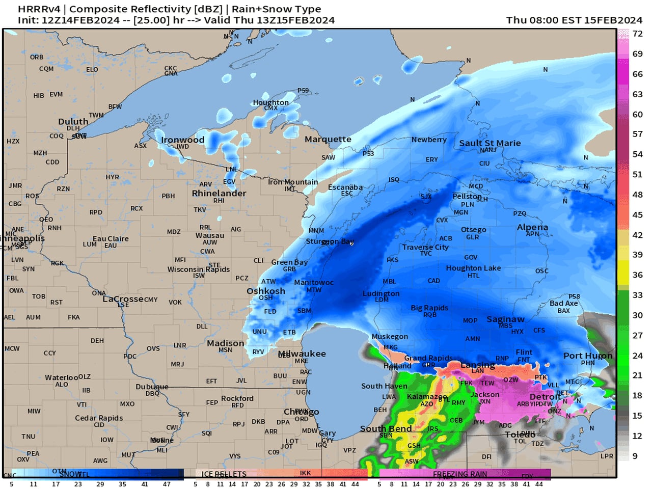
A fast-moving storm system is expected to bring a swath of solid snow across Lower Michigan, with the rain/snow line running from Grand Rapids to Flint. Areas north of this line, including Saginaw, Bay City, and Midland, are forecasted to experience several hours of heavy snow, with 2 to 5 inches of snow expected for most northern regions. Travelers are advised to wait until mid-afternoon for safer driving conditions, as intense snow rates and reduced visibility are anticipated in the morning.
- Storm system breakdown: central Michigan and northward get all the snow MLive.com
- Storm to bring accumulating snow to Michigan: How much to expect by region WDIV ClickOnDetroit
- Metro Detroit weather: Dry day before next band of snow Thursday FOX 2 Detroit
- Storm system breakdown: Rain/Snow line cuts right across southern Michigan MLive.com
- Our winter hiatus finally ends Thursday morning WWMT-TV
Want the full story? Read the original reporting
Read on MLive.com