
Northeast braces for 32M flood risk as storms sweep in
TL;DR
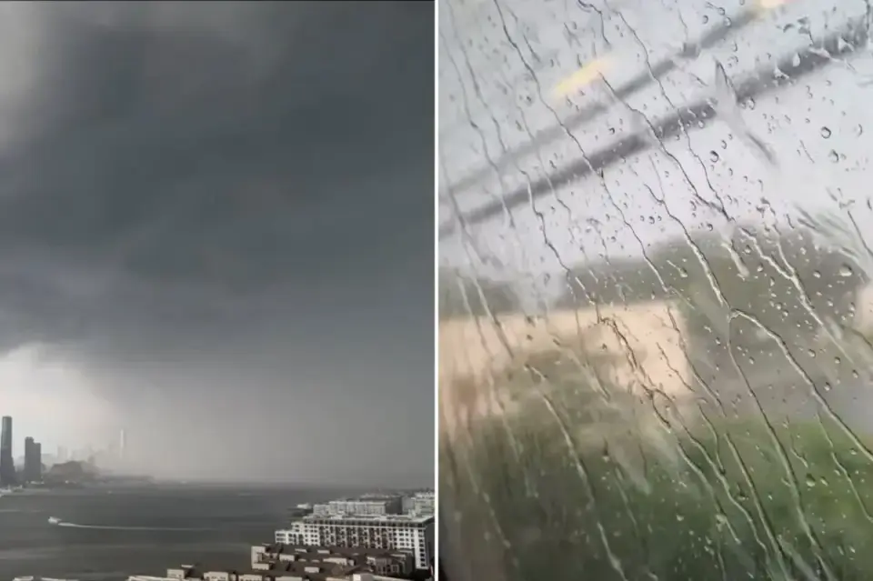
Severe thunderstorms are forecast to sweep the Northeast Thursday evening, placing about 32 million people along the I-95 corridor from Connecticut to Virginia under a flash‑flood risk with heavy downpours (up to 2 inches per hour) and damaging winds. A Tornado Watch covers millions in the DC/Delaware/NJ/PA/VA region as the cold front moves east and stalls, with the potential for urban flooding in NYC, Philadelphia, and Baltimore. The activity could linger into Friday and redevelop over the weekend, threatening travel along I‑95 and prompting continued severe-weather alerts across the Mid-Atlantic and Carolinas.
- Severe storms expected to slam Northeast with 32M threatened by dangerous flooding New York Post
- See hourly radar breakdown as storms could bring damaging winds and flooding NBC New York
- Tornado causes severe damage in Dover, Delaware FOX 29 Philadelphia
- Flooding in NJ, potential tornado on Long Island FOX 5 New York
- Severe storm, flood threat heads to Interstate 95 corridor: Forecast 6abc Philadelphia
Want the full story? Read the original reporting
Read on New York Post