
"Wintry Mix and Frigid Temperatures: Louisville's Impact Weather Update"
TL;DR
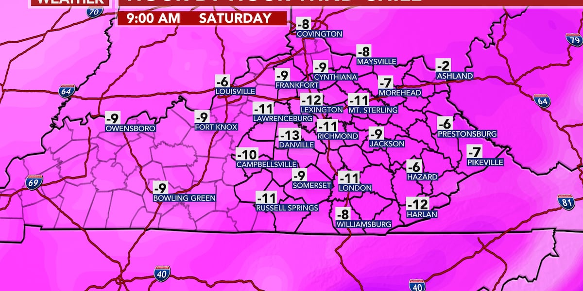
Central and Eastern Kentucky are experiencing snow accumulation of 2-5 inches, with higher amounts in some areas. Arctic air will bring bitterly cold temperatures, with wind chills as low as -15 below 0. Temperatures will gradually rise on Sunday, but a wet pattern with heavy rain is expected next week, raising concerns about high water issues.
- FIRST ALERT WEATHER DAY | Snow today and bitterly cold by tonight WKYT
- Impact weather: Snow and Frigid temperatures to end the week WLKY News Louisville
- Winter weather advisory in effect Thursday for Louisville | Jan. 18, 2024 #WHAS11 6 a.m. weather WHAS11
- Wintry mix to snow tonight LEX 18 News - Lexington, KY
- How much snow did Louisville get? More showers in the forecast Courier Journal
Want the full story? Read the original reporting
Read on WKYT