
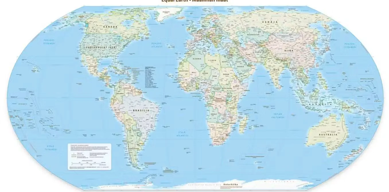
Does the Equal Earth map really change Africa's size on the world stage?
TL;DR Summary
The UN endorsed the Equal Earth projection to display landmasses more fairly by reducing Mercator distortions that exaggerate polar regions and make Africa appear smaller. Cartographers say it’s better for education and policy, but navigation and global adoption remain voluntary, requiring changes to textbooks, media and maps; geopolitical debates (e.g., Crimea) illustrate how map choices intersect with politics, though a universal switch would require coordinated investment and effort.
Topics:nation#cartography#cognitive-justice#equal-earth-projection#mercator-projection#world#world-map-adoption
- New world map makes Africa look bigger: what’s the fuss about? Cartographers explain The Conversation
- Japan, India, Ukraine: Why some countries are uneasy about new UN map aljazeera.com
- Africa redraws the map Financial Times
- Japan seeks change to new UN world map over Russia 'misconception' theguardian.com
- Discarding an Old Map and Seeing Africa With Fresh Eyes foreignpolicy.com
Reading Insights
Total Reads
1
Unique Readers
6
Time Saved
12 min
vs 12 min read
Condensed
97%
2,400 → 68 words
Want the full story? Read the original article
Read on The Conversation