Tag

Mercator Projection

All articles tagged with #mercator projection

Does the Equal Earth map really change Africa's size on the world stage?
world27 days ago

Does the Equal Earth map really change Africa's size on the world stage?

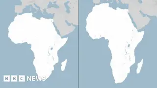
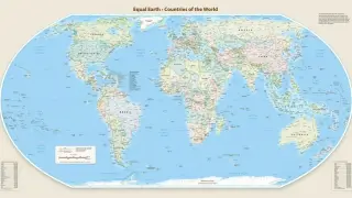
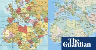
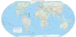
The UN endorsed the Equal Earth projection to display landmasses more fairly by reducing Mercator distortions that exaggerate polar regions and make Africa appear smaller. Cartographers say it’s better for education and policy, but navigation and global adoption remain voluntary, requiring changes to textbooks, media and maps; geopolitical debates (e.g., Crimea) illustrate how map choices intersect with politics, though a universal switch would require coordinated investment and effort.
France abandons Mercator, adopts Eckert IV to show continents by true size
world1 month ago

France abandons Mercator, adopts Eckert IV to show continents by true size

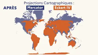
France will phase out the Mercator projection in its diplomatic maps and switch to Eckert IV to better reflect continental sizes, aligning with a UN push toward equal-area projections like Equal Earth. The change is gradual (begun in 2021) and not a universal replacement, as Mercator remains used in some contexts and by platforms like Google Maps. At the UN, 164 countries backed a move toward equal-area maps (1 against, 6 abstentions), and while Eckert IV is similar to Equal Earth, it is not identical.

UN backs Equal Earth map to reveal Africa's true size
world1 month ago

UN backs Equal Earth map to reveal Africa's true size

The UN General Assembly backed a non-binding push to replace the Mercator projection with the Equal Earth map, with 164 countries in favor, the United States against, and six abstentions; the resolution argues the new projection more accurately shows Africa’s true size and hopes governments and institutions adopt it, a move France welcomed by abandoning Mercator.

UN approves new world map to reflect Africa’s true size
world1 month ago

UN approves new world map to reflect Africa’s true size

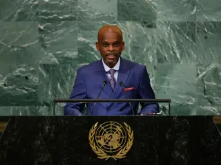
The UN General Assembly voted 164-1 with six abstentions to back the Equal Earth projection as a more accurate representation of land areas, especially Africa, and to promote its use in schools, media and digital platforms. The move is non-binding and does not affect navigation, with France co-sponsoring and Togo leading the campaign; the United States opposed, calling it an ideological agenda.

UN Adopts Equal Earth Map to Correct Global Size Distortions
world1 month ago

UN Adopts Equal Earth Map to Correct Global Size Distortions

The United Nations General Assembly voted 164 in favor, with six abstentions and only the United States against, to replace the Mercator projection with the Equal Earth map so countries are shown at their true relative sizes. Led by African nations and the AU, the move aims to correct centuries of distortions that minimize Africa and other regions and calls on tech platforms to adopt the more accurate projection; France signaled support for the switch.

UN to vote on Africa-friendly world map to correct scale bias
world1 month ago

UN to vote on Africa-friendly world map to correct scale bias

The UN General Assembly will vote on a non-binding resolution to replace the Mercator map with the Africa-accurate Equal Earth projection, a campaign led by Togo and backed by the African Union. If passed, it could influence education and technology as classrooms and platforms update to reflect Africa’s true size; organizers plan UNESCO, AU, and Google Maps-backed events to map out implementation.

"Debunking the Myth: Sailing Straight from USA to India"
science2 years ago

"Debunking the Myth: Sailing Straight from USA to India"

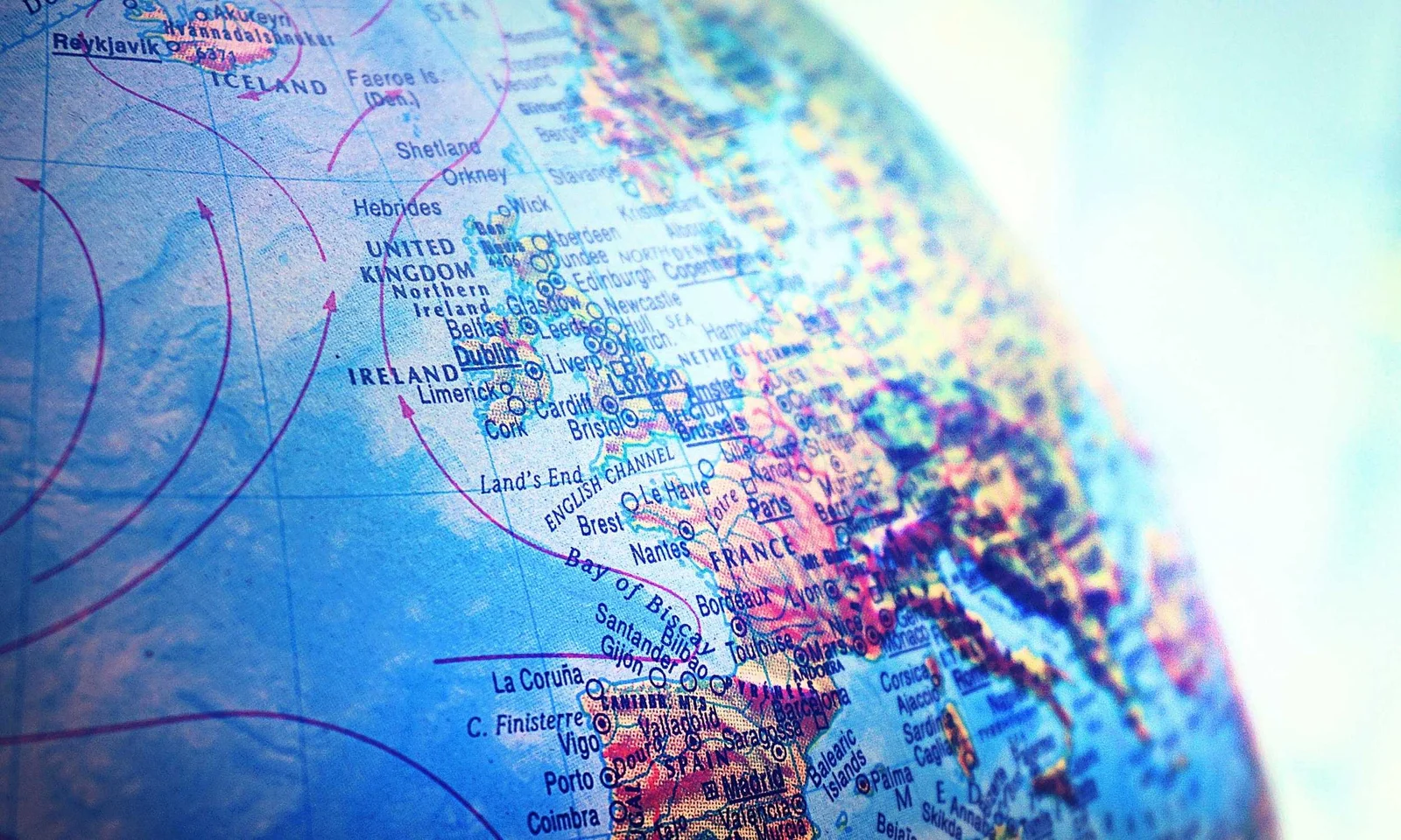
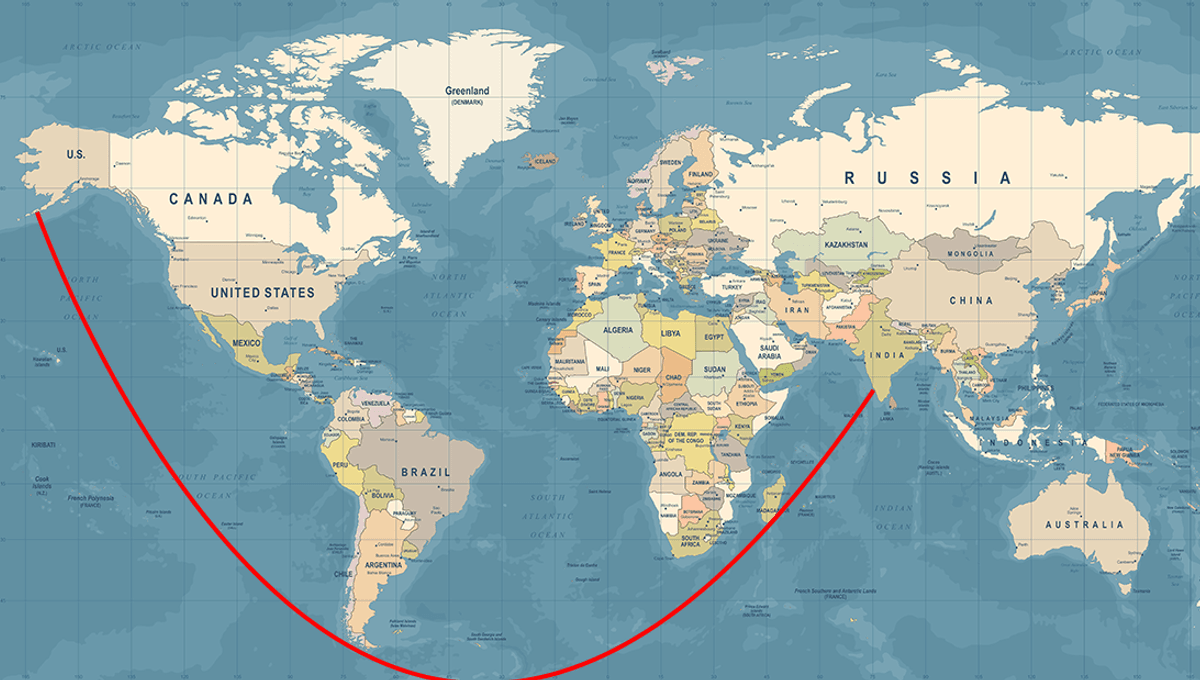
People are confused about how one can sail from the USA to India in a straight line due to the distortions caused by the Mercator projection, a common map representation. This cylindrical map projection distorts size and shape, especially away from the equator, making straight lines on a globe appear differently on a flat map. Despite these distortions, a straight-line course from the USA to India is possible with minimal steering adjustments.

"Straight Line Sailing: Viral Map Stuns Social Media and Elon Musk"
geography3 years ago

"Straight Line Sailing: Viral Map Stuns Social Media and Elon Musk"

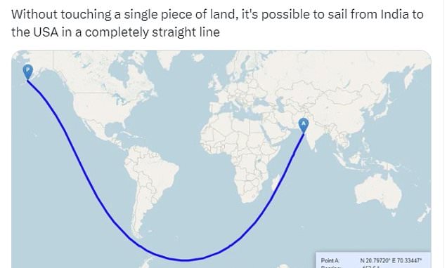
A map showing a straight line route from India to the USA has captivated social media users, despite the practical challenges posed by ocean currents and Antarctic ice sheets. The map, which appears curved on a 2D surface, is actually a straight line when drawn on a globe. The Mercator projection, commonly used in maps, distorts the shape of landmasses and makes straight lines appear curved. In 2012, a Reddit user identified an even longer straight line sea journey from Pakistan to Russia, inspiring computer scientists to develop an algorithm to find the longest possible routes on Earth.

"Insightful Maps: Revealing the True Size and Meaning of Earth's Countries"
geography3 years ago

"Insightful Maps: Revealing the True Size and Meaning of Earth's Countries"

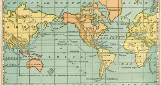
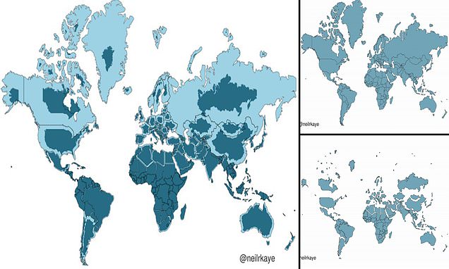
A climate data scientist at the Met Office has created a two-dimensional representation of what the world really looks like, revealing that many countries, including Russia, Canada, and Greenland, are not nearly as big as we think. This phenomenon can be attributed to the Mercator projection, a map most commonly seen hanging in classrooms and in textbooks, which was created in 1596 to help sailors navigate the world. It gives the right shapes of land masses, but at the cost of distorting their sizes in favour of the wealthy lands to the north. Africa is actually three times the size of North America and also significantly larger than Russia, despite the opposite appearing true when looking at a map.