
Ancient Lake Agassiz Leaves Fertile Footprint on Canadian Farmland
TL;DR
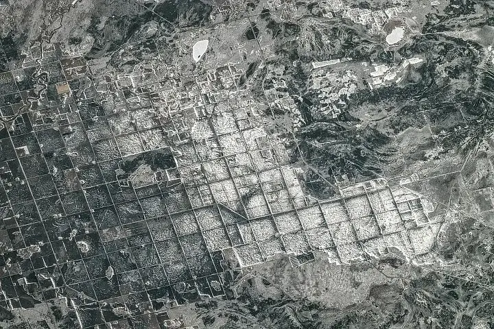
NASA's Earth Observatory explains that the ancient glacial Lake Agassiz deposited nutrient-rich sediments along the southern shore of Lake Winnipeg, creating the fertile farmland that persists today, shaped by the Dominion Land Survey grid; an April 2026 ISS photo shows snow-covered fields and crops like wheat, barley, oats, and canola in southeastern Manitoba.
Topics:scienceearth-science#dominion-land-survey#earth-science#farming#lake-agassiz#manitoba#silt-and-clay
Farming in Ancient Lake Agassiz NASA Science (.gov)
Want the full story? Read the original reporting
Read on NASA Science (.gov)