
UN Endorses Equal Earth Projection to Correct Africa’s Scale
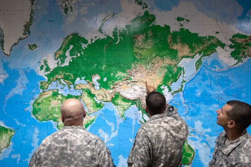
The UN General Assembly has adopted a non-binding resolution encouraging the use of the Equal Earth map projection, which accurately depicts Africa’s size relative to other continents. The decision aims to replace the traditional Mercator projection, which distorts landmasses near the poles, thereby correcting long-standing geographical misconceptions in education and media.
Key points
- The UN General Assembly voted to adopt the Equal Earth projection, which shows continents in their true proportions, correcting the distortions of the Mercator map.
- The resolution is non-binding and does not ban the Mercator projection but encourages its replacement in education, newsrooms, and digital platforms.
- The Mercator projection, designed for navigation, exaggerates the size of regions near the poles like Greenland and North America while shrinking Africa and South America.
- In the Equal Earth projection, Africa is shown to be 14 times larger than Greenland, whereas the Mercator map makes them appear roughly the same size.
- The campaign for the new map was led by African nations and the African Union, with support from France and other countries, though the United States was the sole dissenting nation.
Background
The UN General Assembly voted 164 in favor of the resolution, with six abstentions and the United States as the only nation voting against. The move follows a campaign led by Togo and backed by the African Union, aiming to correct centuries of geographical distortions that minimize Africa and other regions. Organizers plan to engage UNESCO, the African Union, and tech companies like Google Maps to facilitate the transition to the Equal Earth projection in classrooms and digital platforms.
How outlets are covering it
AP News and Al Jazeera highlight the symbolic and educational significance of the resolution, emphasizing the need for accurate maps in schools and media. CNN focuses on the visual impact of the new map, noting how it changes the perceived size of continents. All sources agree on the non-binding nature of the resolution but differ in emphasis: AP and Al Jazeera stress the campaign’s leadership by African nations, while CNN highlights the broader implications for global perception. The United States’ dissent is noted by AP but not detailed in the other sources.
Why it matters
The adoption of the Equal Earth projection could reshape how the world is perceived in education, media, and digital platforms, correcting long-standing distortions that have minimized Africa and other regions. This shift may influence global narratives and promote a more accurate understanding of geographical sizes, potentially impacting international relations and cultural perceptions.
What to watch
The resolution’s impact will depend on its adoption by educational institutions, media outlets, and tech companies. Organizers plan to engage UNESCO, the African Union, and Google Maps to facilitate the transition. The long-term effect on global perception and geographical education remains to be seen, but the resolution marks a significant step toward correcting historical distortions in cartography.
- UN General Assembly endorses a new world map that shows more accurately Africa’s size AP News
- UN votes to adopt new map that makes our world look very different CNN
- UN approves new map showing Africa’s true size Al Jazeera
- The U.N. backs a new world map showing Africa in its true relative size NPR
- Explanation of Vote Before the Vote for UNGA 80 Adoption on the Resolution to “Correct the Map” United States Mission to the United Nations (.gov)
Want the full story? Read the original reporting
Read on AP News