
"Pacific Northwest Braces for 'Pineapple Express' Deluge and Flood Threat"
TL;DR
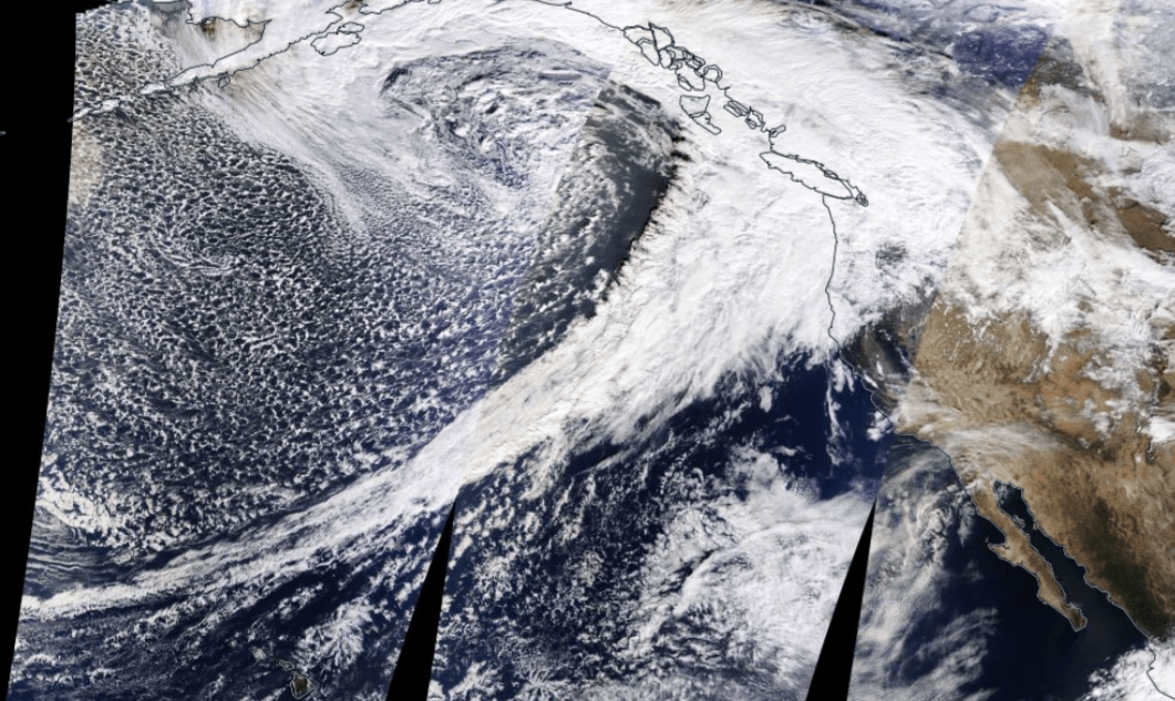
Satellite imagery from NASA shows the "Pineapple Express," an atmospheric river bringing warmer temperatures and heavy rain to the Pacific Northwest. The storm, originating in the Gulf of Alaska, is drawing subtropical moisture from Hawaii. Portland broke a temperature record with a high of 65 degrees, but cooler temperatures are expected as the storm moves east and brings in colder air from Alaska. Mount Hood ski slopes have been affected by rain, but falling temperatures may allow the ski park to open on December 8.
Topics:top-newsweather#atmospheric-river#pacific-northwest#pineapple-express#satellite-imagery#temperature-record#weather
- Satellite images: Developing ‘Pineapple Express’ hits Pacific Northwest KOIN.com
- Strong atmospheric river to slam Northwest with over a half foot of rain, creating a significant flood threat CNN
- Atmospheric rivers unleash rains, winter fury in Pacific Northwest as snow slams Northeast CBS Mornings
- Potential water level for Naches River near Naches NBC Right Now
- KOIN 6 Weather Alert KOIN 6
Want the full story? Read the original reporting
Read on KOIN.com