
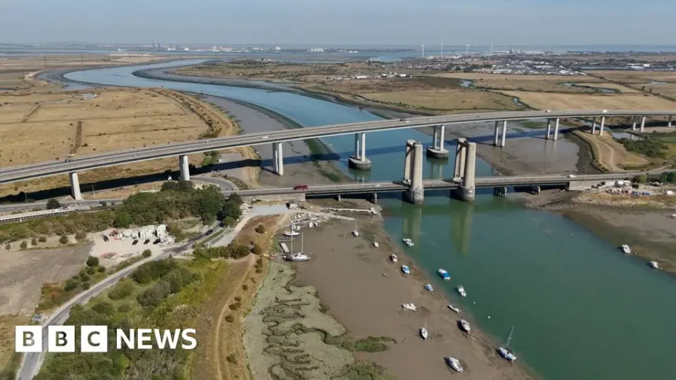
Drones Capture Southeast England’s Drought-Stricken Farmland
TL;DR
Drone imagery shows parched landscapes across Kent, Sussex and Surrey after about two months with no significant rain, with river levels fallen and towns subject to hosepipe bans. July 2026 was England’s driest on record, amplifying wildfire risk and stressing wildlife and farming as climate-change–driven heatwaves continue.
- Drone images reveal parched landscapes in Kent, Sussex and Surrey BBC
- Photos show how drought has transformed Britain's landscape Reuters
- Severe drought across southern Britain eu-space.europa.eu
- Failing to prepare for droughts will cost us dear The Times
- Drought strains UK farmers, bringing agricultural export competitiveness to the fore Trade Finance Global
Want the full story? Read the original reporting
Read on BBC