
"Iceland's Volcanic Peril: A Warning from Above"
TL;DR Summary
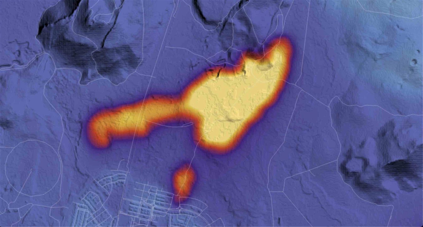
NASA satellite imagery has revealed ongoing volcanic activity on Iceland's Reykjanes peninsula, with new fissures opening near Grindavík and releasing lava over 48 hours. The thermal data collected by NASA's Landsat 9 satellite and its Thermal Infrared Sensor 2 (TIRS-2) instrument shows concentrated volcanic activity in the region. Despite efforts to divert lava flows away from the town, the area remains perilous, with ongoing land uplift and seismic activity. The Icelandic Met Office reports a significant slowdown in ground movement, suggesting that the recent eruption has ended, but hazards remain high in the volcanic danger zone.
- “Hazards Remain High” as Volcanic Danger Zone is Revealed in NASA Satellite Imagery Captured Over Iceland The Debrief
- Iceland Risks Even Higher Inflation in Bid to Help Town Damaged by Volcano Bloomberg
- 'People were running over steaming lava vents with drones – it was ridiculous' The Telegraph
- We watched as the Iceland volcano lava came for our homes. What now? The Times
- Iceland's Erupting Volcano Is a Disaster Warning to Others Bloomberg
Reading Insights
Total Reads
0
Unique Readers
21
Time Saved
3 min
vs 3 min read
Condensed
84%
601 → 96 words
Want the full story? Read the original article
Read on The Debrief