
"Iceland's Volcanic Peril: A Warning from Above"
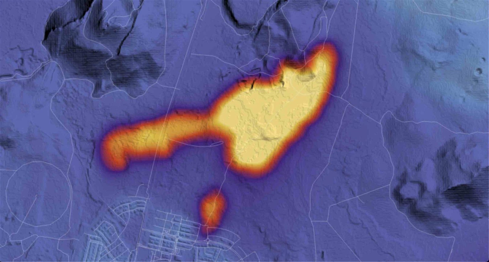
NASA satellite imagery has revealed ongoing volcanic activity on Iceland's Reykjanes peninsula, with new fissures opening near Grindavík and releasing lava over 48 hours. The thermal data collected by NASA's Landsat 9 satellite and its Thermal Infrared Sensor 2 (TIRS-2) instrument shows concentrated volcanic activity in the region. Despite efforts to divert lava flows away from the town, the area remains perilous, with ongoing land uplift and seismic activity. The Icelandic Met Office reports a significant slowdown in ground movement, suggesting that the recent eruption has ended, but hazards remain high in the volcanic danger zone.