
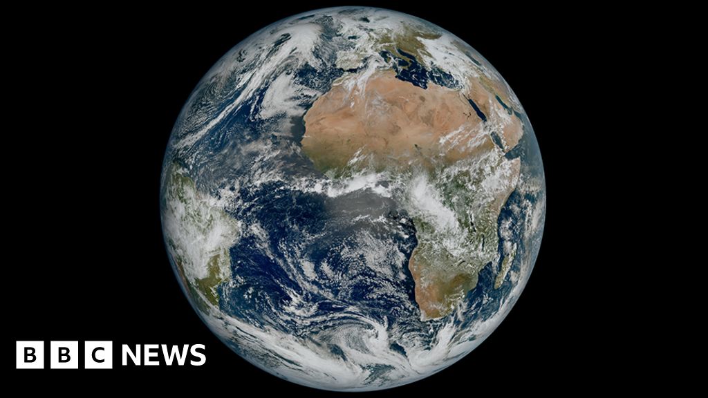
Meteosat-12 captures debut images of Europe's weather.
Europe's new weather satellite, Meteosat-12, has released its first images, which are expected to bring about a step-change in forecasting skill. The spacecraft, which sits 36,000km above the equator, will improve warnings of imminent, hazardous conditions through "nowcasting" - the ability to say with greater confidence that violent winds, lightning, hail or heavy downpours are about to strike a particular area. The increased resolution of Meteosat-12 will track features as small as 500m in diameter, and it will return a full picture of the weather systems racing across Earth's surface at a rate of one every 10 minutes.