Wrench in the Tire: The Hidden Dangers of Road Debris
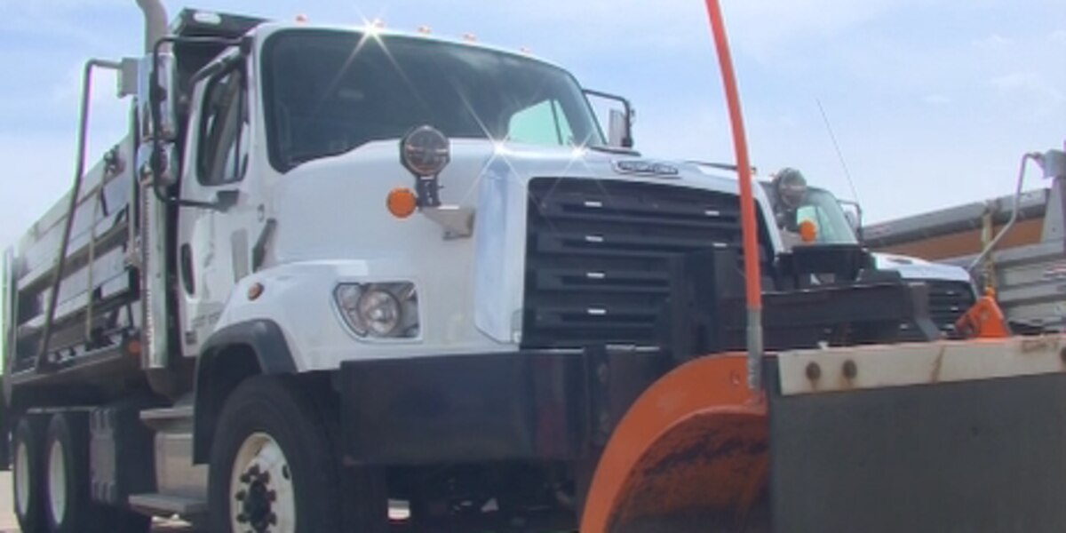
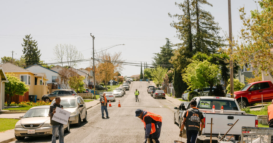
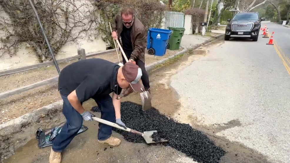
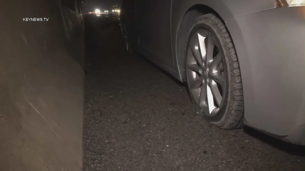
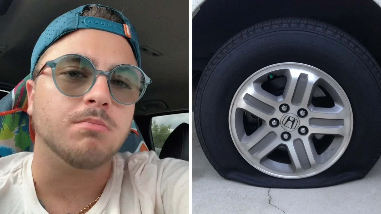
Road debris from construction zones—nails, screws, glass, or even an embedded wrench—causes many tire punctures and can lead to blowouts. A viral clip showing a wrench lodged in a tire highlights the danger, while NHTSA data note hundreds of tire-related fatalities annually and warn that debris can cause both immediate damage and long-term wear. To reduce risk, check tire pressure monthly, visually inspect tires before each drive, test tread depth, rotate tires every 5,000–7,500 miles, slow down in construction zones and when facing rough roads, drive straight over potholes when unavoidable, and replace damaged tires; tire sealants are only temporary fixes and won’t repair sidewall damage or large holes.