
"Louisiana Braces for Dual Rounds of Severe Weather: What You Need to Know"
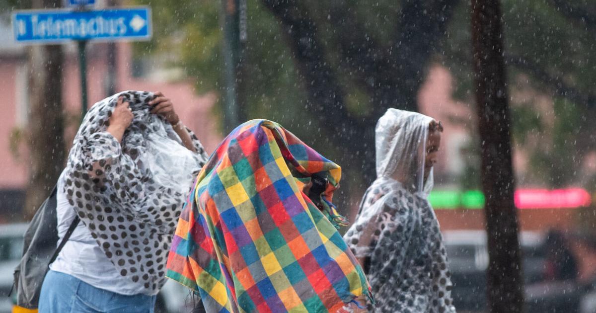
Two rounds of severe weather are expected to hit Louisiana on Monday and Tuesday, bringing heavy rain, strong winds, and an increased risk of flash flooding and isolated tornadoes. The National Weather Service predicts 3 to 5 inches of rain across most of south Louisiana, with potentially damaging winds and a moderate risk of flash flooding. The first round of severe weather is expected to hit New Orleans, Baton Rouge, and Acadiana on Monday evening, with the second round arriving overnight. There's also a 10% chance of tornadoes over much of southern Louisiana through Tuesday morning, and a coastal flood advisory is in effect for areas along Louisiana's southern and eastern coastlines.
- When will two rounds of severe weather hit Louisiana? Here's the timeline for your city. NOLA.com
- Severe Storms Target South Bringing Multiday Threat Of Strong Tornadoes, Damaging Winds, Flooding FOX Weather
- Full breakdown of Monday's severe weather potential KATC News
- Severe weather very possible Monday night WDSU News
- Treacherous travel in Louisiana today: First step for staying safe is 'Stay off the roads' WBRZ
Reading Insights
0
13
3 min
vs 4 min read
82%
627 → 112 words
Want the full story? Read the original article
Read on NOLA.com