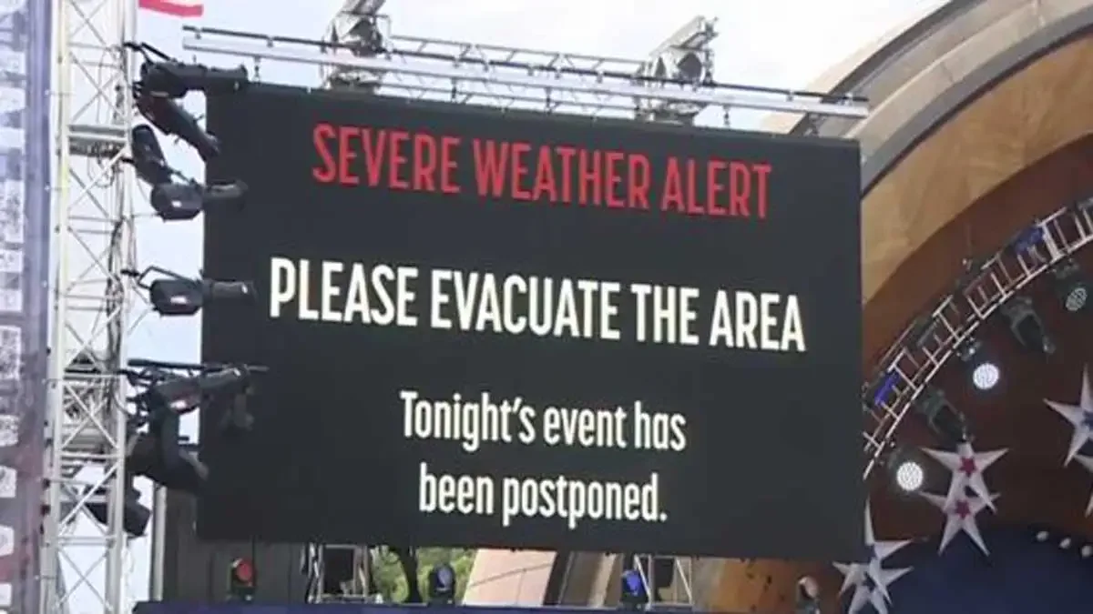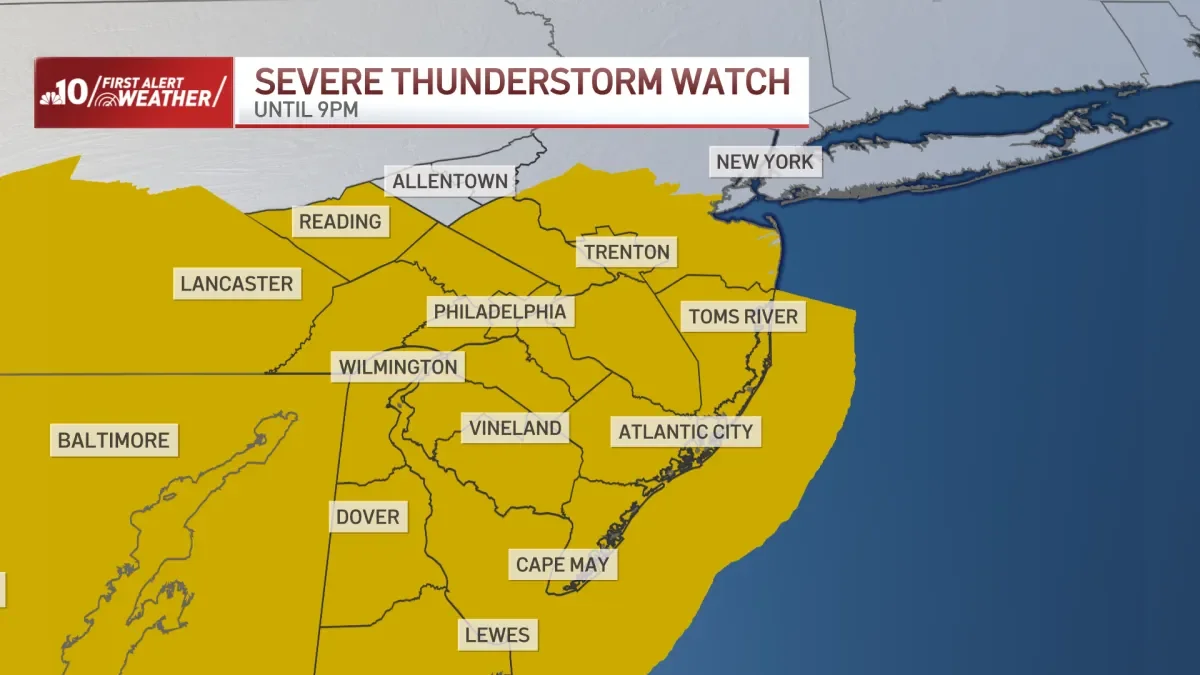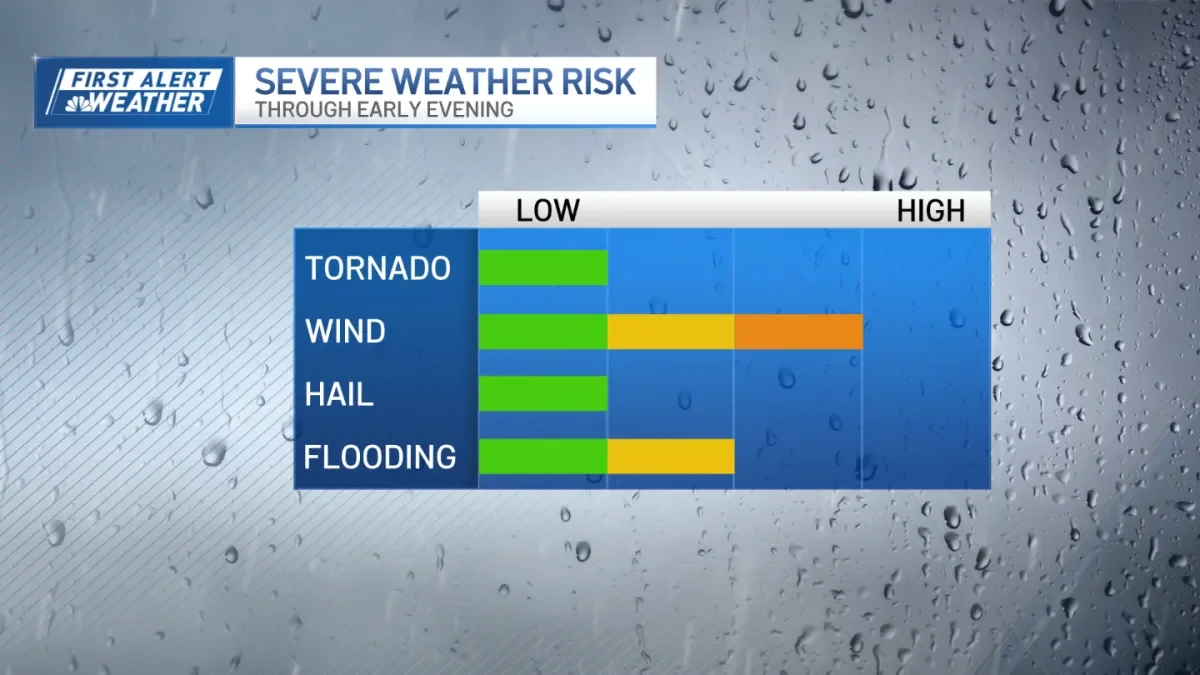
Microburst Storms Slam Philadelphia Region, Causing Roofs, Trees, and Power Outages
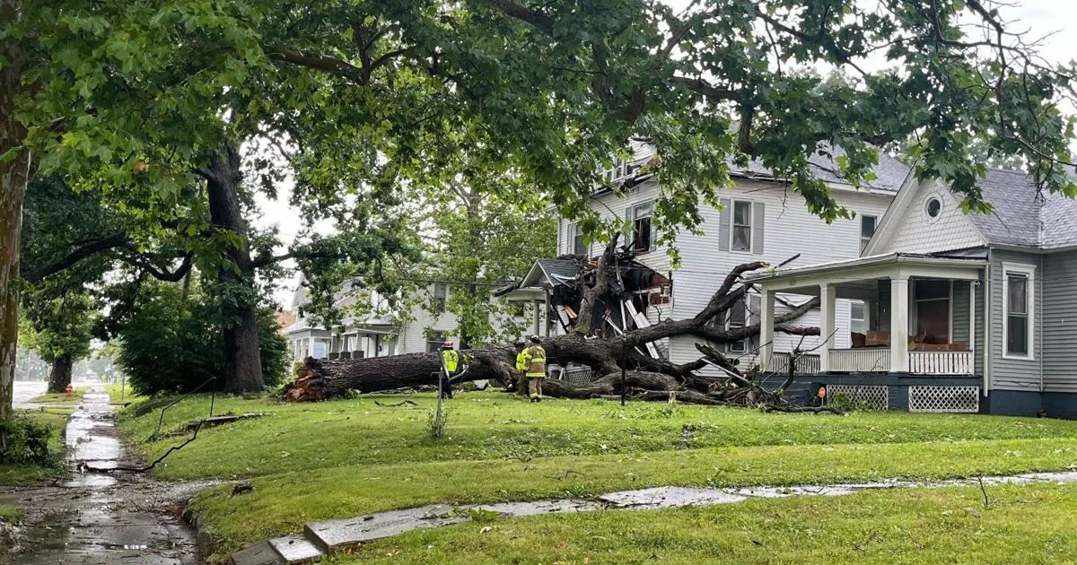
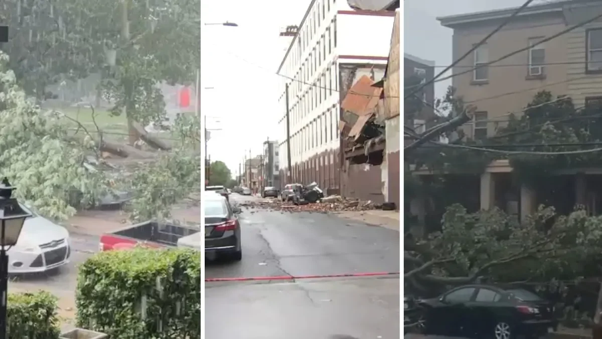
Four microbursts with 60–70 mph winds swept the Philadelphia region Saturday, downing trees, tearing roofs, and damaging vehicles as thousands lost power (more than 33,000 PECO customers). Evacuations occurred in several buildings, SEPTA faced delays, and a Lower Merion Township state of emergency was declared while crews cleared debris; officials said the threat has ended and dry conditions are ahead.