
Massachusetts Nor'easter Delivers Record Rain, Coastal Flooding
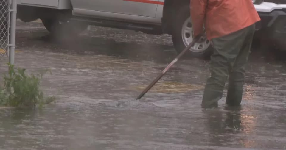
A prolonged fall nor'easter has battered Massachusetts with extreme rainfall and high winds, causing significant flooding and travel disruptions. Sharon recorded 9.41 inches of rain, while coastal towns like Falmouth and Bourne reported stranded vehicles and boats. A flood watch remains in effect through late Monday night.
Key points
- Sharon recorded the highest rainfall total at 9.41 inches, followed by Bridgewater at 7.47 inches and Westwood at 7.73 inches, according to the National Weather Service.
- A flood watch is active for most of Massachusetts until late Monday night, with excessive rainfall rendering some roads impassable.
- A high wind warning was in effect for Worcester County until noon on Sunday.
- In Falmouth, an SUV ended up in the water near Falmouth Heights Beach, while a 34-foot boat named 'Mooney Too' ran aground in Bourne after breaking its mooring.
- Police in Yarmouth and Bourne urged residents to avoid unnecessary travel due to reduced visibility and flooded roadways.
Background
This event follows earlier coverage of Massachusetts' educational rankings and national news ratings, but those topics are unrelated to the current weather emergency. The current storm represents a distinct, severe weather event impacting the state's infrastructure and coastal areas.
How outlets are covering it
Boston 25 News emphasized the quantitative impact of the storm, providing a detailed town-by-town breakdown of rainfall totals across the state, highlighting the severity in inland areas like Sharon and Bridgewater. CapeCod.com focused on the immediate, localized consequences on the coast, detailing specific incidents such as a stranded SUV in Falmouth and a boat running aground in Bourne, while also relaying police advisories for safe driving. The two outlets complement each other by covering the broad meteorological data and the specific human/infrastructure impacts, respectively.
Why it matters
The extreme rainfall totals, particularly in towns like Sharon and Bridgewater, indicate a high risk of prolonged flooding and infrastructure damage. The coastal incidents highlight the danger of high winds and storm surges, posing risks to property and personal safety. The ongoing flood watch suggests that residents should prepare for continued disruptions to travel and daily activities through the work week.
What to watch
The flood watch will remain in effect until late Monday night. Residents are advised to monitor local news for updates on road conditions and potential further flooding. Authorities will likely continue to issue travel advisories and emergency response updates as the storm system moves through the region.
- Mass. nor’easter rain reports: Town-by-town list of highest totals (so far) Boston 25 News
- These Mass. communities are under flood warnings during the nor’easter on Sunday MassLive
- Nor’easter continues (updated 2:30 PM): Overnight rains cause street flooding in some areas, SUV in water at Falmouth beach CapeCod.com
- Worcester still under flood watch as nearby towns clear downed trees Worcester Telegram
- How much rain has fallen across Mass. during the nor’easter as of Sunday yahoo.com
Want the full story? Read the original reporting
Read on Boston 25 News