
Nor’easter brings rain to NYC, first snow to peaks, and a brief cold snap to the East
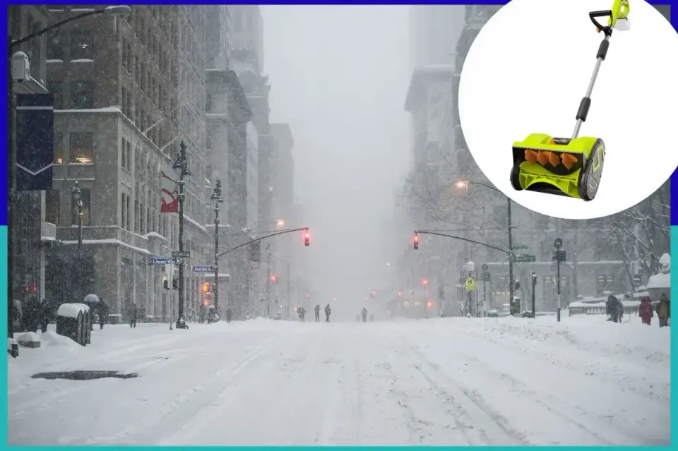
A developing nor’easter will impact the eastern United States Thursday and Friday, bringing rain to major cities and the season’s first snow to high elevations. A subsequent cold snap will drop temperatures 5 to 15 degrees below average for nearly 200 million people, though the chill is expected to be short-lived.
Key points
- The storm is expected to bring rain to the New York City area starting Thursday afternoon, with the heaviest precipitation occurring late Thursday into Friday morning.
- Snow is likely to stick only at high elevations in the Interior Northeast and northern New England, while lower elevations along the I-95 corridor will primarily experience cold rain.
- Behind the storm, a cold front will bring sub-freezing temperatures to parts of the Deep South and drop temperatures 5 to 15 degrees below average across the eastern US.
- Forecast models disagree on the storm’s speed; a faster track may limit snow accumulation, while a slower coastal track could allow snow to linger through Saturday.
- The cold snap is temporary, with above-average temperatures expected to return next week, potentially influenced by Super El Niño conditions.
Background
This storm marks the first significant winter event since an early-season nor’easter in September. Previous coverage noted that while major cities like New York and Boston will see rain, higher elevations in New York and New England are the primary targets for accumulating snow. The cold snap is expected to affect nearly 200 million people east of the Mississippi, with some southern areas experiencing their first freeze of the season.
How outlets are covering it
CNN provides a broad national perspective, emphasizing the cold snap’s reach to the Deep South and the uncertainty regarding the storm’s speed and snow totals. AccuWeather, cited by the New York Post, focuses specifically on the New York City area, describing the event primarily as a rainmaker with heavy precipitation late Thursday and Friday. Both sources agree that snow will be limited to high elevations, but CNN highlights the potential for lake-effect snow in the Great Lakes, a detail not emphasized in the Post’s local-focused report.
Why it matters
The storm disrupts a period of mild weather, bringing the first significant cold of the season to tens of millions. While major urban centers will face rain and wind rather than heavy snow, the subsequent cold snap could impact infrastructure and daily life across the eastern US. The uncertainty in the forecast means residents should prepare for variable conditions, including potential coastal flooding and gusty winds.
What to watch
Residents should monitor updated forecasts for changes in the storm’s track and intensity. The cold snap is expected to last through the weekend, with temperatures potentially reaching the 30s for highs and 20s for overnight lows in the Northeast. Above-average temperatures are forecast to return next week, signaling the end of this brief winter interlude.
- An NYC nor’easter is coming: Get ahead of it with this simple, strong snow remover New York Post
- Nor’easter forecast: Here’s when and where the snow and rain are expected in New England The Boston Globe
- First snow, coldest air in months headed for eastern US in wake of storm CNN
- Potential for nor'easter increasing, could bring first snow to millions as cold air sweeps across the East FOX Weather
- Developing nor’easter to slam millions in New England with first significant snow, lash I-95 with rain FOX Weather
Want the full story? Read the original reporting
Read on New York Post