
Northeast Nor'easter Brings Rain to Cities, First Snow to Mountains
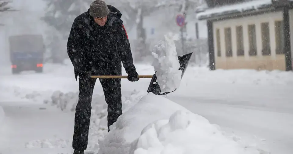
A developing late-week nor'easter is expected to bring widespread rain and gusty winds to the Northeast, with the season's first accumulating snow likely confined to higher elevations in New York and New England. Major cities along the I-95 corridor, including New York City, will primarily experience rain as ground temperatures remain too warm for snow to stick. As the storm departs toward Canada on Saturday, a significant cold snap will follow, dropping weekend highs into the 30s and overnight lows into the 20s across the region. Forecasters note that the exact track and intensity of the storm remain uncertain, with small shifts potentially altering the rain-snow line and precipitation totals.
Key points
- New York City and other major I-95 corridor cities are forecast to receive widespread rain rather than snow, with temperatures remaining above freezing through Friday.
- Accumulating snow is expected in higher elevations of northern New York, Vermont, New Hampshire, and Maine, as well as parts of the Appalachian Mountains.
- The storm is expected to bring gusty winds, with coastal areas potentially seeing gusts over 40 mph, though coastal flooding is not a major concern.
- A sharp temperature drop will follow the storm, with weekend highs in the 30s and 40s and overnight lows in the 20s across the Northeast.
- Forecasters emphasize significant uncertainty regarding the storm's exact track and intensity, which could affect the rain-snow line and snowfall totals.
Background
This nor'easter is the first significant winter storm of the season for the Northeast, following an earlier offshore nor'easter in October that brought wind and coastal flooding. Previous forecasts have indicated that the cold snap will be short-lived, with temperatures returning to above-average levels by next week.
How outlets are covering it
FOX 5 New York and the National Weather Service emphasize that major cities along the I-95 corridor will primarily see rain, with snow accumulation highly unlikely due to warm ground temperatures. NBC Boston notes that while the rain-snow line may approach Route 128 in Massachusetts, the European model's cold bias and early-season conditions make a coastal snowfall less likely. The Democrat and Chronicle highlights that the National Weather Service has not yet forecast significant snow accumulations for many New York locations, with the best chance for snow coming later in the weekend as colder air moves in. All sources agree that the storm's exact track and intensity remain uncertain, with small shifts potentially altering precipitation types and totals.
Why it matters
The nor'easter will bring the season's first snow to higher elevations in the Northeast, along with a significant temperature drop that could impact travel and daily activities. While major cities are expected to see mostly rain, the cold snap following the storm could lead to freezing conditions and potential ice accumulation in some areas.
What to watch
Forecasters will continue to monitor the storm's track and intensity in the coming days, with more detailed snowfall projections expected as the storm approaches. The rain-snow line and precipitation totals could shift based on the storm's path and the arrival of colder air.
- First snow of the season? Potential nor'easter impacts for Philly, NYC and DC region FOX 5 New York
- Potential for nor'easter increasing, could bring first snow to millions as cold air sweeps across the East FOX Weather
- How much snow could New York get this week? What the latest forecast shows Democrat and Chronicle
- Storm could bring first snowfall to Mass. on Friday night MassLive
- All eyes on potential late-week coastal storm — here's what we know right now NBC Boston
Want the full story? Read the original reporting
Read on FOX 5 New York