
"Thursday Night Snowstorm to Bring Frigid Temperatures and Messy Friday Morning"
TL;DR Summary
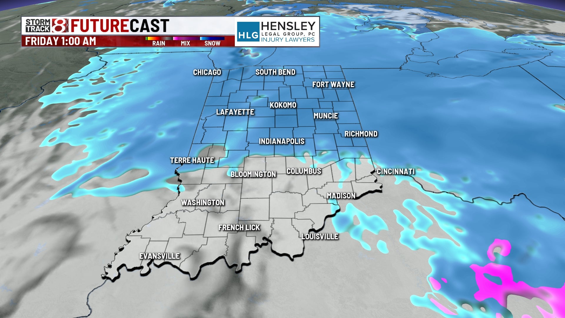
Another round of snow is expected to bring slick conditions on Friday morning, with a Winter Weather Advisory in effect for northern counties and total snow accumulation of 2-4". Scattered snow showers will continue into Friday morning, followed by much colder temperatures settling in for the weekend, with highs likely only reaching the teens and wind chills in the single digits to around 0°. However, a big warm-up is expected next week, with temperatures reaching above freezing for the first time in over a week and possibly reaching the 40s and 50s by the middle of the week.
- Snow moving in Thursday night - Indianapolis News | Indiana Weather | Indiana Traffic WISH TV Indianapolis, IN
- Winter Storm Watch begins Thursday night, heavy lake-effect snow expected 953mnc.com
- FRIGID TEMPERATURES REMAIN THIS MORNING wccsradio.com
- Snow inbound tonight; messy Friday morning expected FOX 59 Indianapolis
- Projected timing and totals for Thursday, Friday snow | Live Doppler 13 Weather Blog WTHR
Reading Insights
Total Reads
0
Unique Readers
13
Time Saved
1 min
vs 2 min read
Condensed
67%
298 → 98 words
Want the full story? Read the original article
Read on WISH TV Indianapolis, IN