
"Upcoming Weather: From Snow to Storms, Louisville Braces for Arctic Blast"
TL;DR Summary
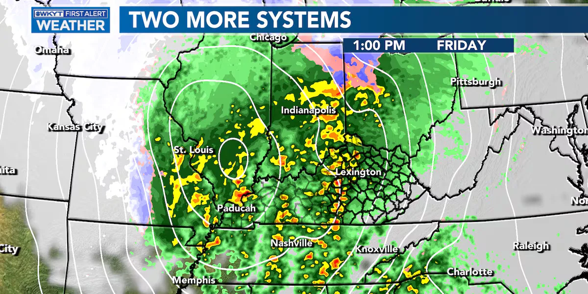
A potent storm system is set to bring wind gusts, thunderstorms, and a swift change to snow in Kentucky on Friday and Saturday, with the potential for slick areas due to colder air and moisture. Another round of snow is expected from Sunday to Tuesday, accompanied by arctic air and the likelihood of accumulating snow and extremely cold temperatures, potentially dropping to single digits and even below zero with wind chill readings.
- Jim Caldwell's Forecast | Next storm system set to bring storms to snow WKYT
- Arctic blast headed to Louisville: Examining snow chances WLKY Louisville
- Local News: NWS issues hazardous weather outlook (1/11/24) Southeast Missourian
- First Alert Forecast: Today is the pick of the week WYMT
- Jim Caldwell’s Forecast | One system moves out and another is set to roll in by Friday WKYT
Reading Insights
Total Reads
0
Unique Readers
9
Time Saved
2 min
vs 3 min read
Condensed
85%
480 → 72 words
Want the full story? Read the original article
Read on WKYT