
UC Davis Study Maps Six Critical Failure Points for California’s El Niño Winter
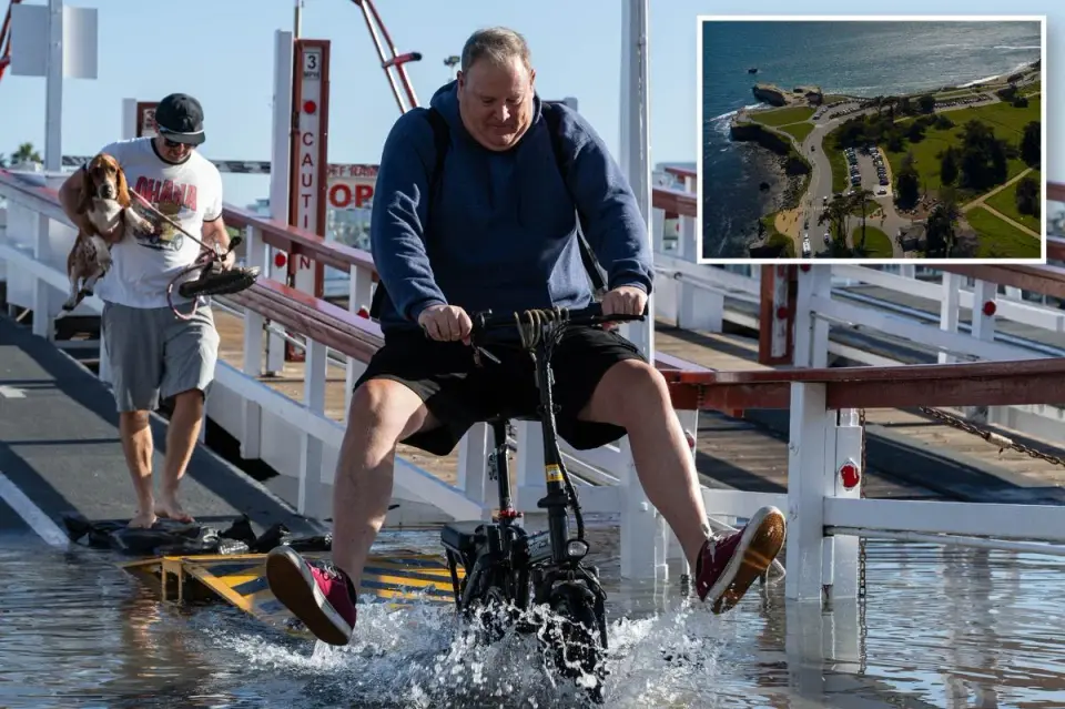
A new UC Davis study identifies six high-risk zones in California facing severe infrastructure damage from a record-breaking El Niño. The event, combined with climate-driven sea-level rise and Kelvin waves, has already shattered historical tide records in Southern California. Experts warn that upcoming king tides and extreme ocean heat will exacerbate flooding, erosion, and road closures from San Luis Obispo to Humboldt Bay through the winter.
Key points
- UC Davis researchers identified six specific geographic hotspots for coastal failure: San Luis Obispo, Monterey/Santa Cruz, South San Francisco Bay, Marin/North Bay, Stinson Beach, and Humboldt Bay.
- The current El Niño is described as a 'super duper' event, with an 83% probability of being the strongest in the modern record since 1950, peaking in December.
- Sea levels in Los Angeles, San Diego, and San Francisco recently exceeded historical records by 1.1 to 1.4 feet, driven by record-hot ocean temperatures and Kelvin waves.
- Infrastructure vulnerabilities include the Bay Bridge approach, San Francisco International Airport, Highway 37, and US-101 corridors, with flooding risks triggered by just 2 to 3 feet of water rise.
- Experts warn that irreversible beach damage may occur in Long Beach and Newport Peninsula, as current protections like riprap and sand augmentation may fail against the combined force of high tides and swells.
Background
California declared a state of emergency in September 2026 as forecasters predicted a very strong El Niño event. Prior coverage noted that while the event may provide short-term rainfall relief for drought, it poses long-term risks to coastal resilience. Recent record-breaking tides in late October served as a precursor to the more severe conditions expected during the winter king tide cycles.
How outlets are covering it
The California Post and CBS News emphasize the specific infrastructure vulnerabilities identified in the UC Davis study, highlighting concrete risks to transportation hubs and residential areas. The Los Angeles Times focuses on the physical mechanisms, detailing how record ocean temperatures and Kelvin waves are already breaking century-old sea-level records. KCRA/AP highlights the broader atmospheric impact, noting that the El Niño is fueling extreme flash floods in the Southwest due to increased moisture, while acknowledging that the event also benefits arid regions by filling reservoirs. While all sources agree on the severity, the California Post and CBS News stress the localized 'points of failure,' whereas the Los Angeles Times frames the current flooding as a 'warning shot' for future climate realities.
Why it matters
The convergence of a historic El Niño, elevated baseline sea levels, and astronomical king tides creates a high-certainty risk for widespread infrastructure failure. Residents and commuters in low-lying coastal areas face potential permanent damage to roads, homes, and critical transportation links, with experts warning that some beach erosion may be irreversible despite current mitigation efforts.
What to watch
The El Niño is expected to peak in December, potentially intensifying storm activity and sea-level anomalies. King tides around Thanksgiving, Christmas, and Martin Luther King Jr. Day are predicted to reach unprecedented heights, likely triggering further flooding in the identified high-risk zones. Ocean temperatures are expected to remain above average through the spring, prolonging the threat of coastal erosion and high-tide flooding.
- Six most likely places in California to be wiped out by El Niño: study New York Post
- Is El Niño making storms and flash floods in the Southwest worse? KCRA
- What the El Niño worst-case scenario would look like in California Los Angeles Times
- UC Davis Study identifies likely points of failure for CA infrastructure from El Niño flooding CBS News
- - WYFF WYFF
Want the full story? Read the original reporting
Read on New York Post