
"Using Heat Maps to Identify Urban Heat Islands and Prepare for Extreme Temperatures"
TL;DR
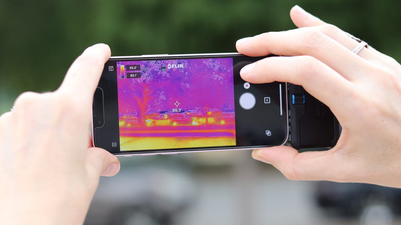
Cities like Oklahoma City are using thermal imaging and citizen scientists to map heat pockets in neighborhoods, aiming to understand and prepare for extreme temperatures driven by climate change. The data collected helps identify areas with high heat stress, such as downtown and affluent neighborhoods, and informs strategies like preserving tree canopy and reclaiming native habitat to cool urban areas. This initiative, supported by the National Oceanic and Atmospheric Administration, aims to help cities adapt to extreme heat and protect residents from heat-related illnesses.
Topics:top-newsenvironment#climate-change#community-engagement#environment#heat-islands#temperature-mapping#urban-planning
Want the full story? Read the original reporting
Read on NPR