
Dolphin Reaches Cat 5 Near the Date Line Amid El Niño-Driven Pacific Burst
TL;DR
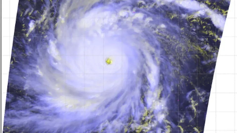
Historic Super Typhoon Dolphin intensified to 165 mph winds and a 910 mb pressure to become the fifth Category 5 tropical cyclone of 2026, strongest typhoon on record to develop so close to the International Date Line and tied to a strong El Niño. It poses no immediate land threat through the weekend but could affect the Ogasawara Islands and approach the East China Sea next week, with winds expanding as it slows weakening to Cat 2–1. The event underscores El Niño’s boost to Pacific typhoon activity and fits long-term trends of increasing Cat 4–5 storms in a warming climate.
- Historic Super Typhoon Dolphin hits Category 5 strength in the Northwest Pacific Yale Climate Connections
- Typhoon Dolphin to Move Westward toward Japan’s Ogasawara Islands The Japan News
- Super Typhoon Dolphin barrels towards Asia as it reaches 160 mph winds, equivalent to a Category 5 hurricane Yahoo
- Maps: Tracking Super Typhoon Dolphin The New York Times
- Typhoon Dolphin eases closing in on Wake Island, may still roar to 180 mph by Friday The Guam Daily Post
Want the full story? Read the original reporting
Read on Yale Climate Connections