
NASA Map Reveals Uneven Sinking of Mexico City Up to 2 cm per Month
TL;DR
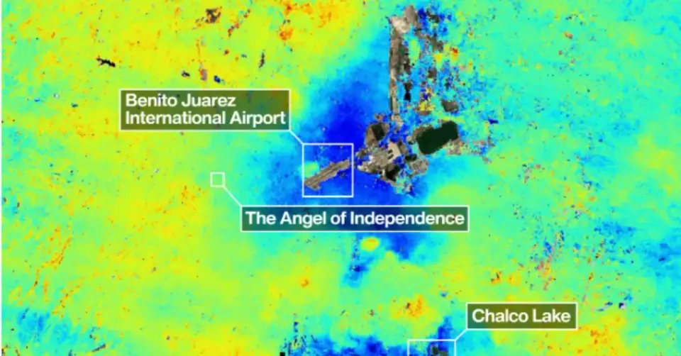
A NASA-ISRO satellite map shows Mexico City's subsidence is uneven, with some areas sinking more than 2 cm per month due to groundwater pumping and the city’s clay lake-bed substrate; preliminary data from Oct 2025–Jan 2026 highlight differential subsidence that threatens infrastructure and underscores the need for continued monitoring to guide policy and mitigation.
- Mexico City Is Sinking. A Powerful NASA Satellite Just Revealed How Fast WIRED
- One of the planet’s biggest cities is sinking so rapidly it’s visible from space CNN
- Up to 2cm a month: Nasa keeps track as Mexico City sinks into the ground The Guardian
- Mexico City is sinking so quickly, it can be seen from space AP News
- Mexico City is sinking up to 14 inches per year, satellite images show Space
Want the full story? Read the original reporting
Read on WIRED