
NASA's NISAR Radar Tracks Century-Old Sinking in Mexico City
TL;DR
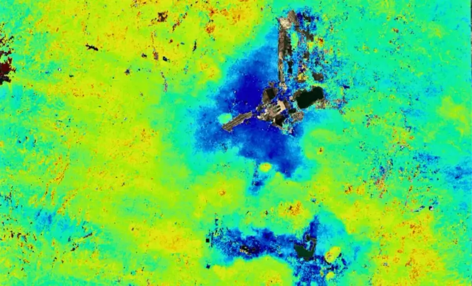
NASA’s new NISAR radar satellite has mapped ongoing subsidence in Mexico City, with some zones sinking more than 2 cm per month as the city sits on a drained lakebed. The readings from Oct 2025 to Jan 2026 demonstrate NISAR’s ability to measure ground deformation in dense, cloudy environments and are openly available, highlighting continued urban infrastructure risks and offering a global tool for monitoring subsidence.
- NASA Radar Just Captured Mexico City Sinking Into the Ground After a Century of Unstoppable Collapse The Daily Galaxy
- US-Indian Spacecraft Captures Mexico City Subsidence NASA Science (.gov)
- Mexico City has been sinking for over a century. A new NASA satellite is now watching it happen in real time ABC News - Breaking News, Latest News and Videos
- US–Indian space mission maps extreme subsidence in Mexico City Phys.org
- Mexico City Sinking GazetteXtra
Want the full story? Read the original reporting
Read on The Daily Galaxy