
Bay Area Map Highlights High-Risk Wildfire Zones
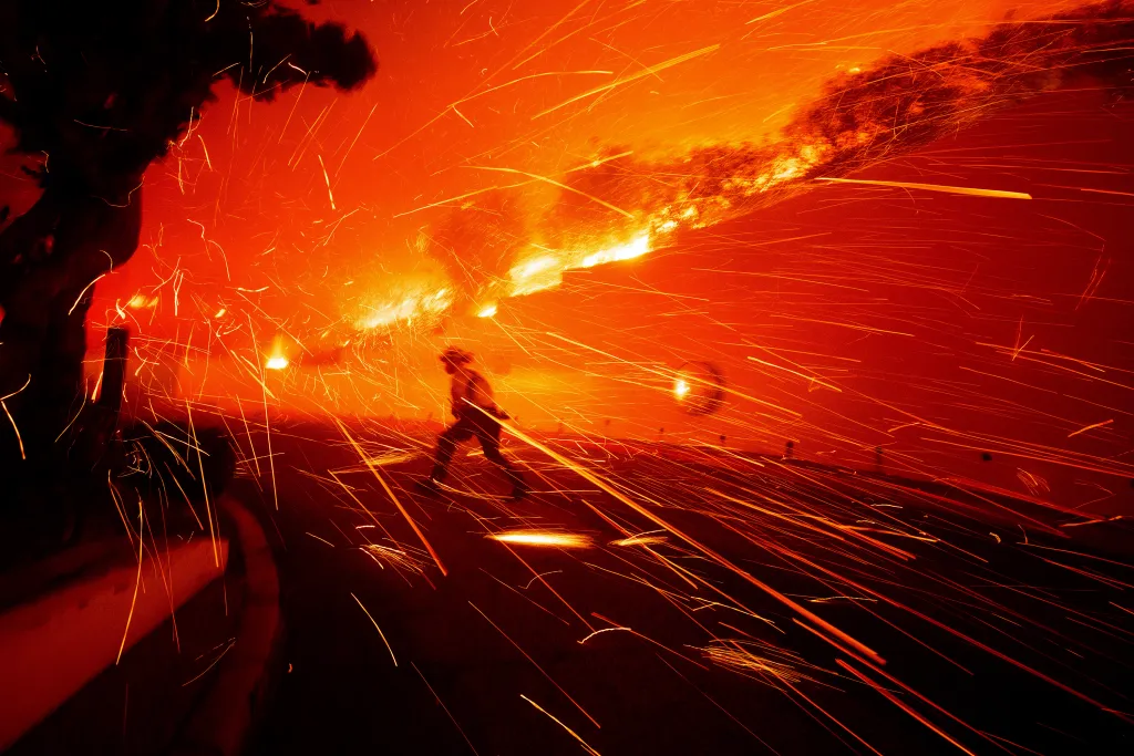
A new map highlights areas in the Bay Area at highest risk of ember-driven wildfires, amid increasing wildfire severity in California since 2017, driven by wind-spread embers that can ignite spot fires and threaten homes.