
Heat Eases as Front Sparks Storms, Cooler Air Nears
TL;DR Summary
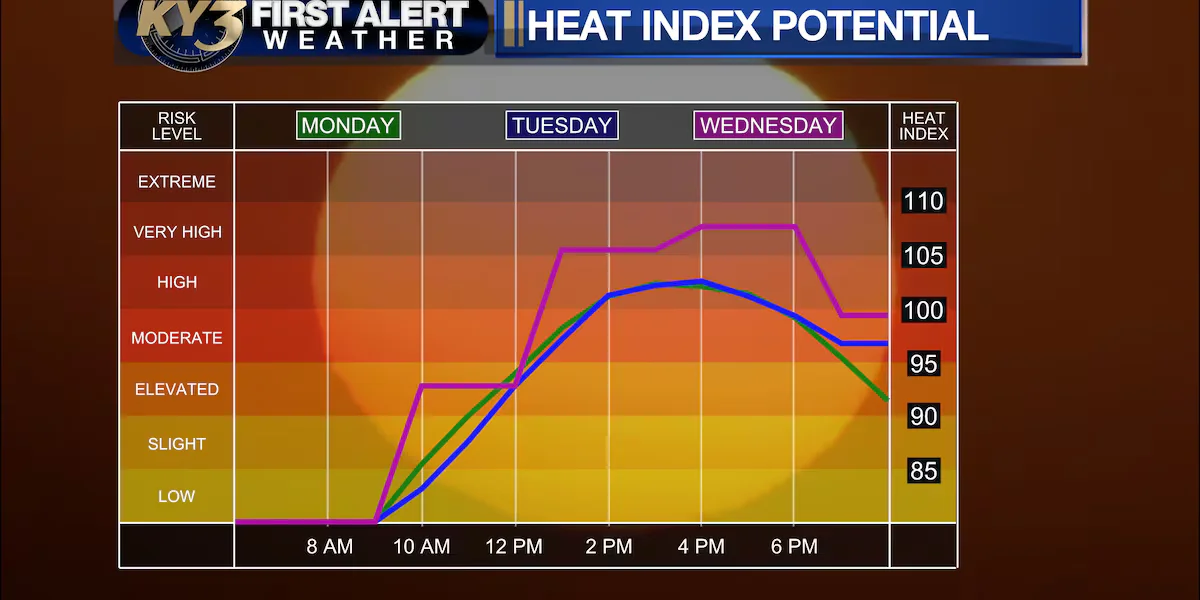
Temps will stay hot into midweek in central Missouri (low 90s to around 100) before a cold front moves in late Wednesday into Thursday, bringing scattered thunderstorms (some severe possible) and much cooler air; showers could linger into Friday with another front by Saturday, with temperatures expected to return toward near-normal levels next week.
- FIRST ALERT WEATHER: Not AS hot, with more relief in sight KY3
- St. Louis region gets brief relief from extreme heat before midweek rebound fox2now.com
- Forecast: Not as hot for Labor Day, heat relief coming later this week KOMU 8
- Labor Day brings a break in the extreme heat, but more on tap midweek West Kentucky Star
- Heat wave nears its end as cooler air arrives midweek yahoo.com
Reading Insights
Total Reads
1
Unique Readers
4
Time Saved
2 min
vs 2 min read
Condensed
85%
365 → 54 words
Want the full story? Read the original article
Read on KY3