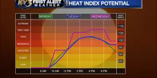
Temps will stay hot into midweek in central Missouri (low 90s to around 100) before a cold front moves in late Wednesday into Thursday, bringing scattered thunderstorms (some severe possible) and much cooler air; showers could linger into Friday with another front by Saturday, with temperatures expected to return toward near-normal levels next week.
A cold front from Alaska sweeps across Oregon and SW Washington, bringing overcast skies, showers and a sharp drop in temperatures (highs falling from the 80s to the 60s in many areas) through early September. Expect about 0.5–0.75 inches of rain Tuesday through Thursday, with isolated thunderstorms possible and a frost advisory for Lake and Klamath counties in Southern Oregon and Modoc County, California as early-morning lows dip into the 30s in parts east of the Cascades. Rain should improve air quality by tamping down wildfire smoke, though Brookings could receive heavier rain (2–3 inches) and northeast California may see gusty winds. While the rain will aid firefighting efforts, officials caution it may not end the fire season, and temperatures could rebound if the front shifts back later in the week.
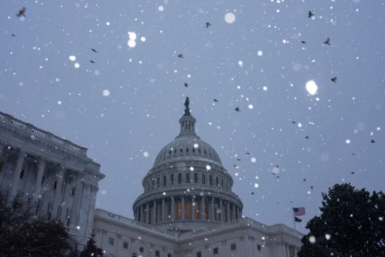
A strong cold front sweeps through the DC region Thursday, plunging temperatures from the 60s to the 30s with gusty northwest winds; morning rain could briefly mix with or change to wet snow in the afternoon, though pavement accumulation isn’t expected. Temperatures fall below freezing overnight, with clearing by evening and a milder, breezy Friday before weekend showers.
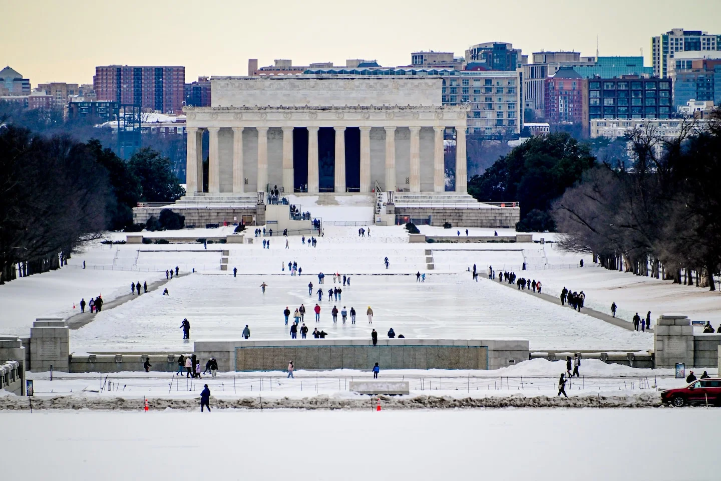
Washington, D.C. area is emerging from a multi-day deep freeze with a milder day, but forecasters warn of a midweek chance of light snow followed by another bitter cold blast.
Central Texas braces for a weekend cold front bringing freezing temperatures, single-digit wind chills, and a chance of freezing rain or sleet. The NWS has a winter storm watch Friday night through Sunday for the Austin area, with temperatures dropping about 30 degrees and remaining below freezing into Monday. Officials urge precautions (drip faucets, check on neighbors) and have opened cold-weather shelters, with One Texas Center serving as a check-in point and CapMetro offering free rides to shelters; ERCOT expects higher energy demand but no widespread outages anticipated. No school closures have been announced yet.
A strong cold front arrives Thursday, bringing windy conditions and a sharp temperature drop. Friday morning could see lows near freezing inland and down into the 20s in some interior counties; a Freeze Watch is in effect for interior Florida. Another freeze is possible north of Tampa Saturday, while weekend highs climb back into the 60s with sunny skies.
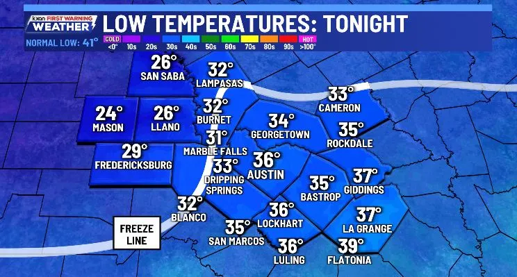
Central Texas experienced a cooler Saturday with highs in the 50s and gusty winds, and temperatures dropping to the 20s and 30s overnight, with a freeze in the Hill Country. The weather will warm slightly next week with highs in the 50s and 60s, but a series of cold fronts are expected mid-week and next weekend, bringing isolated showers and additional cold air. Stay updated with local weather alerts and forecasts.
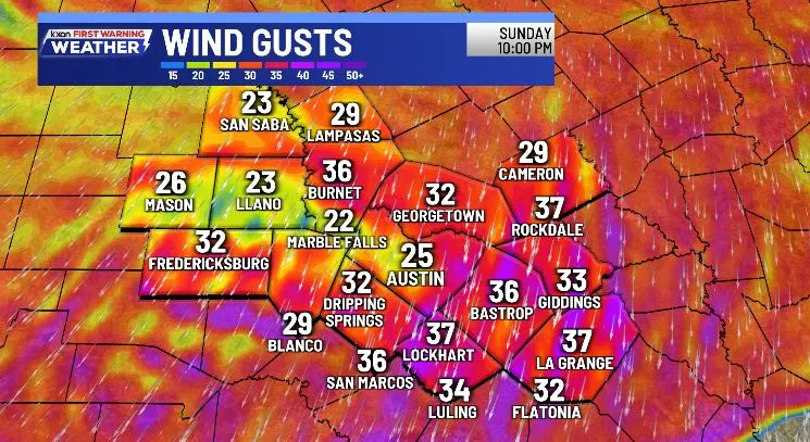
A strong polar cold front is arriving in Central Texas between 1 a.m. and 4 a.m. Saturday, bringing gusty winds of 25-45 mph, sharply dropping temperatures into the low 40s, and wind chills in the 20s and 30s. Despite sunshine, Saturday's highs will only reach the upper 50s, with more pleasant weather returning by Sunday and next week, featuring highs in the 60s and lows in the 40s.
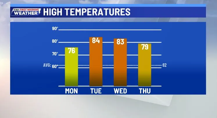
The week in Austin starts with pleasant, warm weather in the 60s and 70s, with potential record highs on Tuesday and Wednesday, followed by limited rain mid-week due to a weak Pacific low, and a stronger cold front expected to bring more seasonable temperatures by Friday into the weekend.
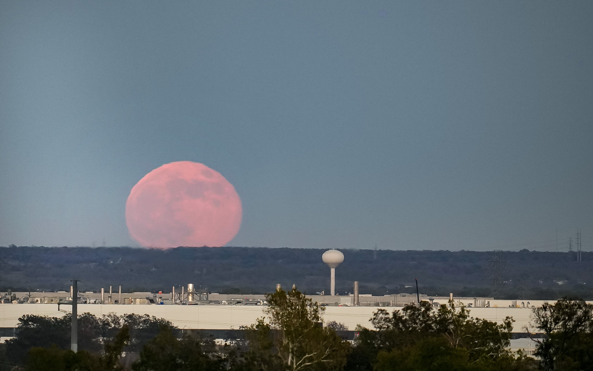
January's Wolf Moon is the first of three supermoons in 2025, coinciding with a brief cold front that will bring a slight temperature drop and increased wildfire risk in Austin. Despite recent cold snaps, the year remains among the warmest on record, with temperatures expected to stay above normal into early next week, and a chance of rain later in the week with another cold front.
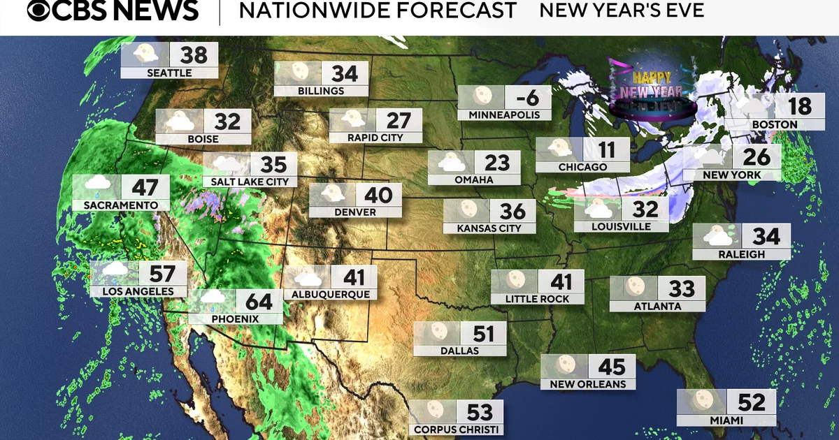
Weather forecasts for New Year's Eve and New Year's Day indicate cold temperatures and snow in the Great Lakes and Northeast, with lake effect snow potentially dropping 1-3 feet, while the West experiences warmer-than-average temperatures and heavy rain, especially in Southern California, with flood watches issued.
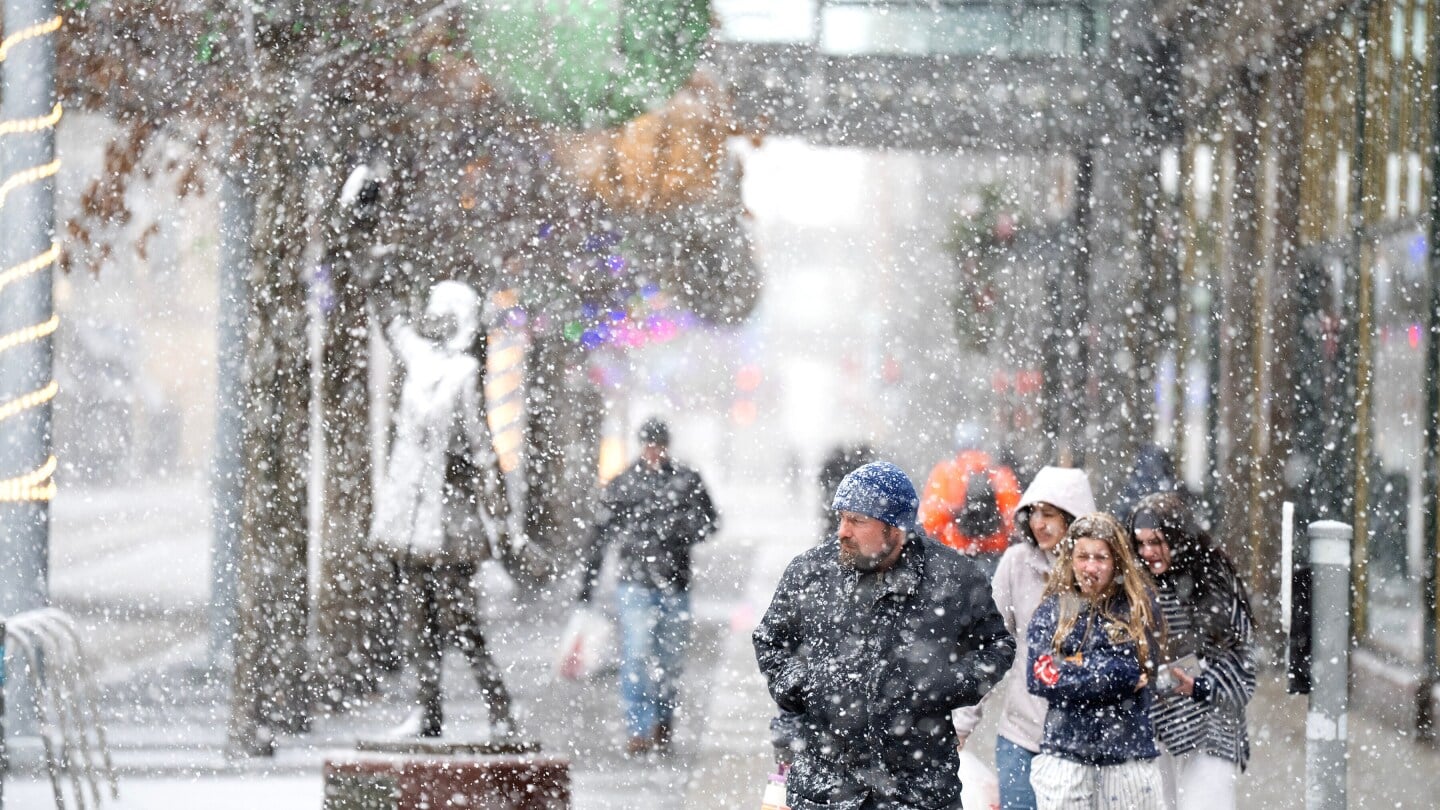
A powerful winter storm is causing blizzard-like conditions, strong winds, and plunging temperatures across the Upper Midwest and parts of the South, leading to travel disruptions, power outages, and dangerous weather conditions.
A powerful winter storm is moving across the U.S., bringing heavy snow, ice, and strong winds, with severe weather expected in the Midwest, Great Lakes, and South, and a sharp cold front causing a rapid temperature drop after a period of record warmth.
A strong cold front is bringing howling winds, dropping temperatures into the 30s and 20s, with gusts exceeding 70 MPH in Maryland, leading to a high wind warning, scattered power outages, and a cold, windy start to the new year.
A strong cold front is arriving in Central Texas this evening, bringing gusty winds, a significant temperature drop, and scattered light showers, with much cooler temperatures expected on Monday. Temperatures will rebound to the 60s and 70s by New Year's, with minimal rain chances later in the week.