
Hurricane Erin Prompts Evacuations and Flood Risks Along U.S. East Coast
TL;DR Summary
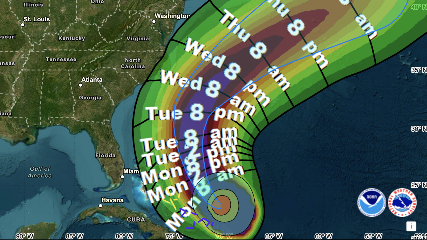
Hurricane Erin, a major storm with 140 mph winds, is approaching the Bahamas and U.S. East Coast, causing flood risks and evacuations, especially in North Carolina's Outer Banks, despite not making landfall. The storm is expected to bring dangerous surf, rip currents, and prolonged coastal flooding, with impacts extending to Bermuda and Canada, amid concerns about increasing hurricane intensity due to climate change.
- Hurricane Erin: No direct hit forecast on U.S., but flood risks prompt evacuations NPR
- Why Rip Currents From Hurricane Erin Are So Dangerous to the East Coast The New York Times
- Dare County News Dare County, NC (.gov)
- Hurricane Erin intensifies as North Carolina's Outer Banks evacuates: Live updates USA Today
- Atlantic Braces for Potential 100ft Ocean Waves Next Week Newsweek
Reading Insights
Total Reads
0
Unique Readers
13
Time Saved
3 min
vs 4 min read
Condensed
91%
732 → 63 words
Want the full story? Read the original article
Read on NPR