East Coast Heat Wave Turns Deadly as Storms Threaten Floods
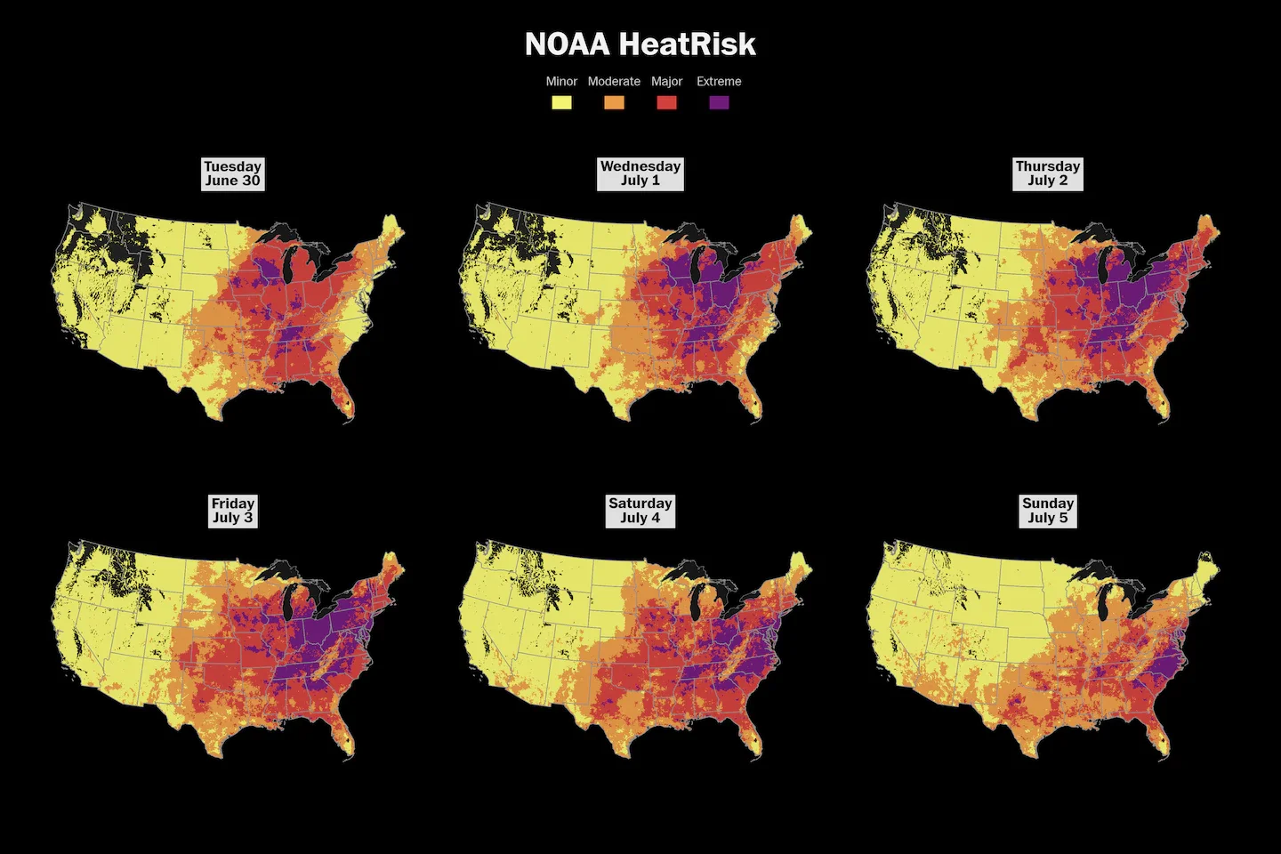
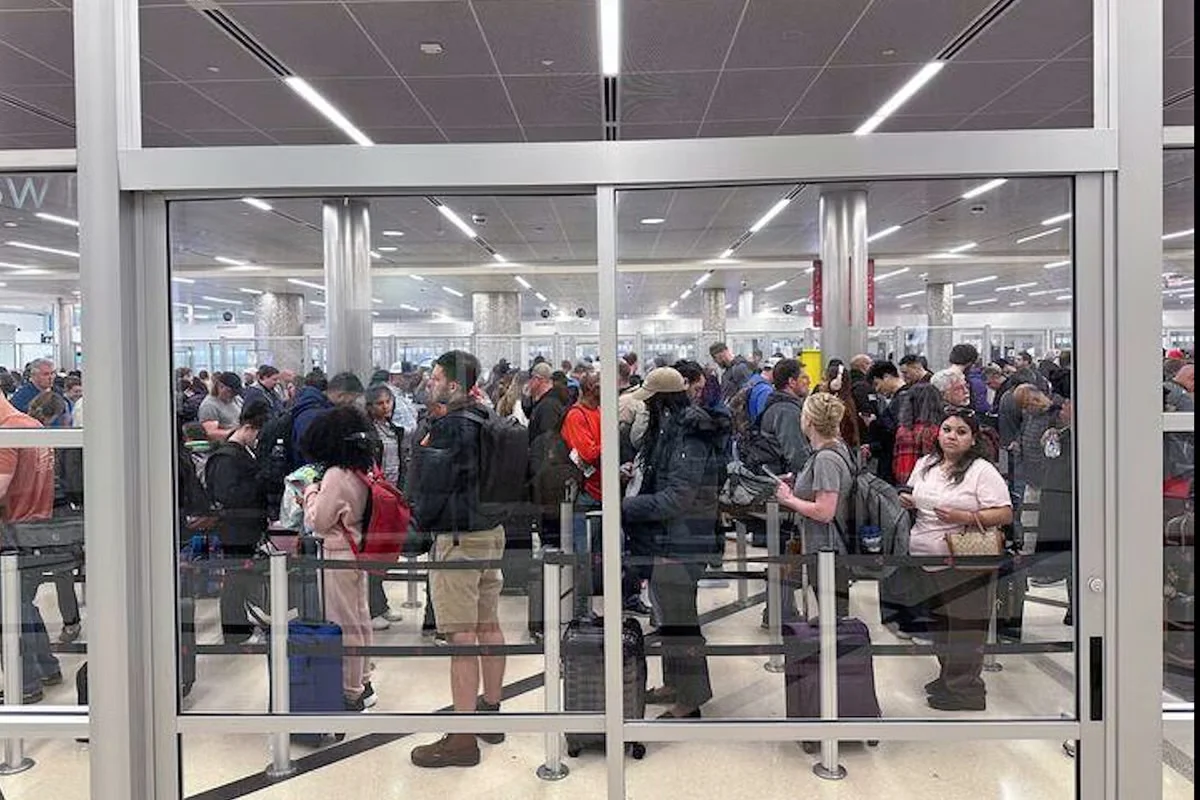
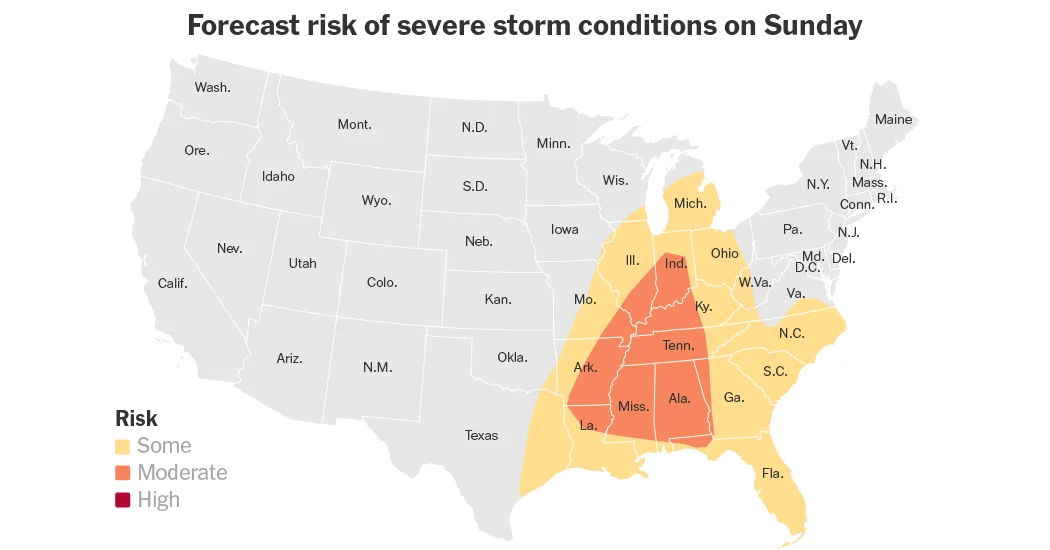
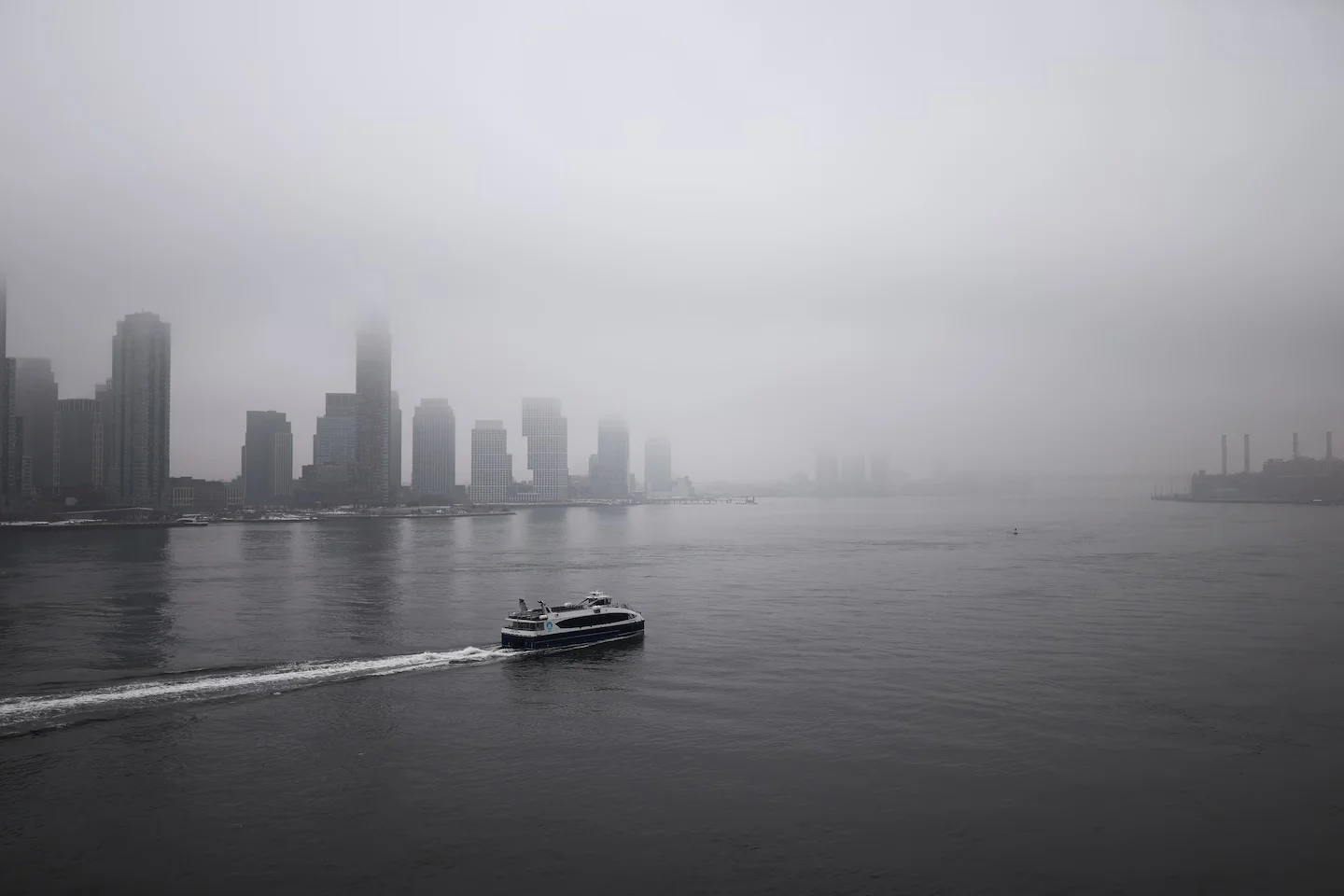
A weeklong East Coast heat wave has killed at least 25 people, with most deaths in New Jersey (22), as 40 million people are under heat alerts and 18 July Fourth record highs were set from Washington to Baltimore. Heat indices are expected to reach 100–105°F, while weekend storms bring damaging winds and flash flood risks; millions are without power and 2–8 inches of rain are forecast through Monday. Temperatures are expected to ease later this week.