
"Louisville and Lexington Brace for Severe Storms and Drastic Temperature Drop"
TL;DR Summary
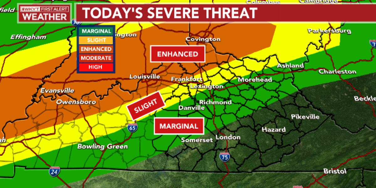
A powerful storm system is expected to bring strong to severe storms, high winds, and a major temperature drop to Kentucky tonight and into Wednesday. Damaging winds, large hail, and a few tornadoes are possible, with the best chance for severe storms across western and central Kentucky. A squall line of thunderstorms will move through central and eastern Kentucky early Wednesday, with temperatures dropping into the 30s and wind chills into the 20s. Milder weather is expected for the weekend.
- FIRST ALERT WEATHER DAY | Chris Bailey Tracks Severe Storms WKYT
- Severe weather risk around Louisville: Damaging wind, hail, isolated tornadoes all possible overnight WLKY Louisville
- FORECAST: Windy day with severe weather likely tonight WAVE 3
- Enjoy the warm temperatures Lexington. A 50 degree drop is in the forecast Yahoo News
- Strong storms may strike Louisville, southern Indiana Tuesday | whas11.com WHAS11.com
Reading Insights
Total Reads
0
Unique Readers
11
Time Saved
0 min
vs 1 min read
Condensed
53%
170 → 80 words
Want the full story? Read the original article
Read on WKYT