
"Midwest Snow Update: Commute Chaos and Lake Effect Warnings"
TL;DR
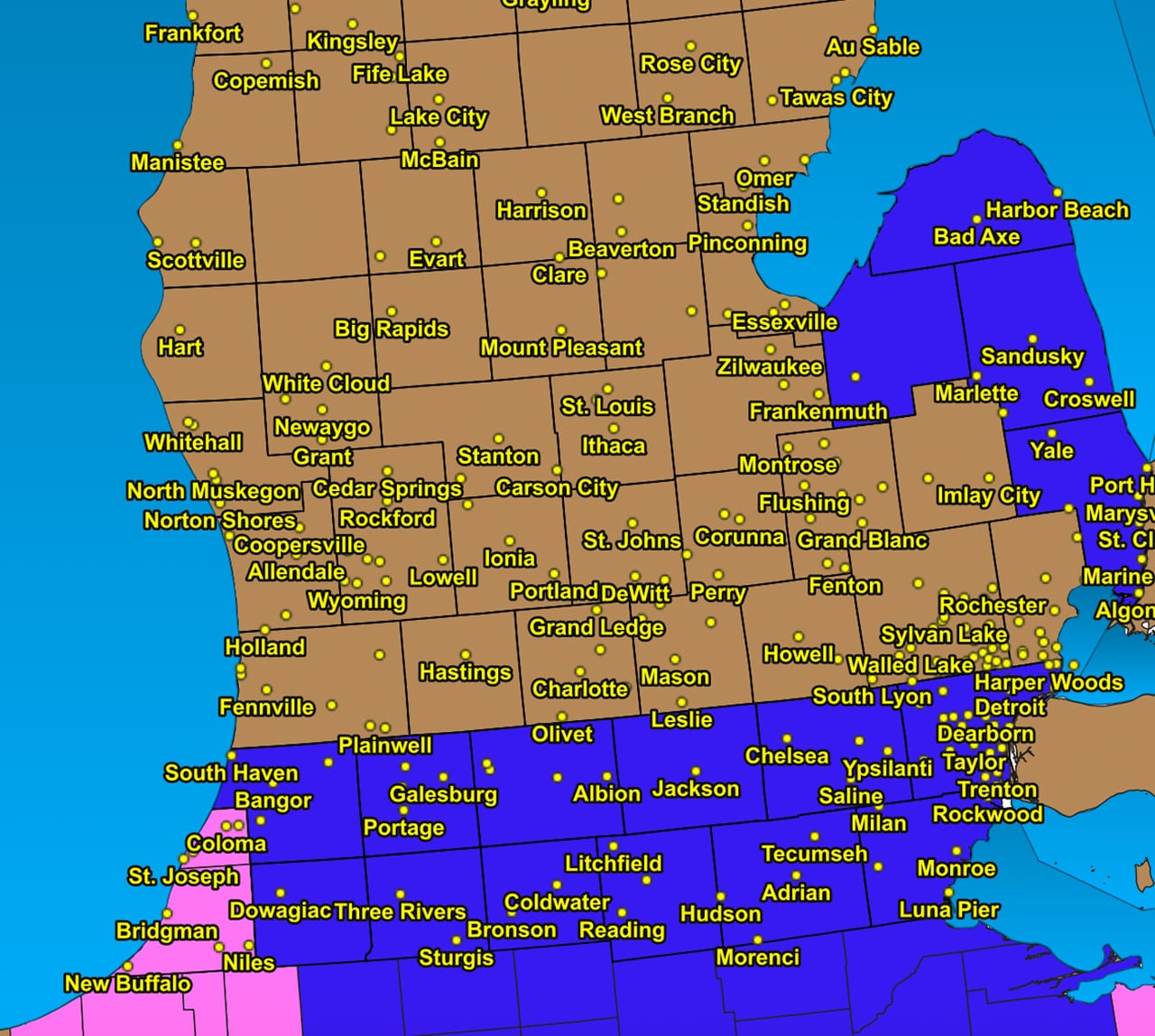
A snow system moving through Michigan is expected to bring light snow to the southern half of Lower Michigan, with heavier lake-effect snow in the southwest and the Upper Peninsula. Additional snowfall of 4 to 12 inches is forecast for Berrien County, while the shoreline from Leelanau County south to Pentwater may see up to 6 inches of localized heavy lake-effect snow. Cold air will dominate today, leading to a very cold Saturday, but a significant warm-up is expected starting Sunday and lasting into next week.
- Friday snow update: Slowly winding down on east side, up to foot of snow far southwest MLive.com
- Blowing snow Thursday night, slick travel Friday morning CBS Chicago
- Morning snowfall impacting commutes across Mid-Michigan WILX
- 13 On Your Side Forecast: Lake Effect Snow Tonight, Bitter Cold Returns 13 ON YOUR SIDE
- A snowy Friday morning commute and a ton of lake effect for parts of the Lake Shore WWMT-TV
Want the full story? Read the original reporting
Read on MLive.com