
Severe Storms Expected on Sunday with Threat of Large Hail.
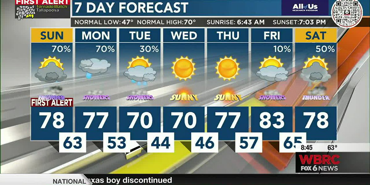
A Flood Watch is in effect until 7 a.m. Monday for several counties in Alabama due to heavy rainfall and saturated ground conditions. Severe thunderstorms capable of producing large hail and damaging winds are expected to move north through the morning, with the possibility of tornadoes developing this afternoon and into the evening. Flash flooding is a concern, especially in areas from Selma to Auburn. The chances of rain will begin to diminish during the day as a cold front moves through, but another storm front is expected to form and produce more showers and thunderstorms concentrated more to the south through Tuesday morning. Dry conditions should continue from Wednesday through Friday.
- FIRST ALERT: Severe storms possible Sunday through Monday morning WBRC
- FIRST ALERT: Multiple rounds of strong to severe storms expected Sunday WSFA
- Sunday Weather Briefing Video — Strong to Severe Storms Possible Through the Day alabamawx.com
- Severe storms and large hail possible on Sunday in the Midlands News 19 WLTX
- Severe storm threat returns for Sunday WJCL News Savannah
Reading Insights
0
12
2 min
vs 3 min read
77%
494 → 112 words
Want the full story? Read the original article
Read on WBRC