
Severe storms threaten Metro Detroit and Iowa, with possible tornadoes on Sunday.
TL;DR Summary
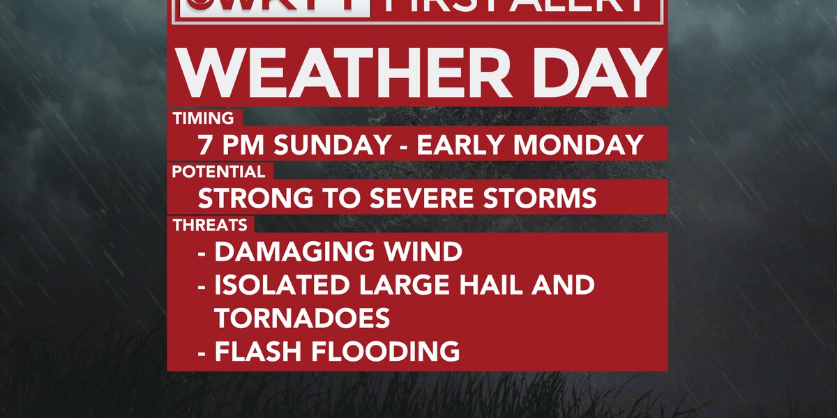
A First Alert Weather Day has been issued for parts of the region due to heavy rain and severe storms. The first band of storms will bring heavy rainfall in the mid-morning to early afternoon hours, followed by a break in the mid-afternoon. The second round of storms will push in during the late evening hours, with a greater threat of heavy winds, rain, and hail risk starting around 7pm. Storms will move out by early Monday morning, leaving a lingering scattered shower chance for both Monday and Tuesday. A cold front trailing behind the storm will allow for high temps in the mid 70s.
- Alexa Minton’s Forecast | First Alert Weather Day WKYT
- Possible severe storms could bring lightning, damaging winds, and large hail to Metro Detroit WDIV ClickOnDetroit
- Much needed rain and a few stronger storms return to the forecast Sunday WWMT-TV
- EXPIRED: Tornado Watch issued across Iowa until 7 PM CDT KIMT 3
- Severe Weather Could Strike Sunday Morning, Afternoon wkdzradio.com
Reading Insights
Total Reads
0
Unique Readers
10
Time Saved
0 min
vs 1 min read
Condensed
44%
188 → 105 words
Want the full story? Read the original article
Read on WKYT