
Severe weather threats loom over Michigan this week.
TL;DR Summary
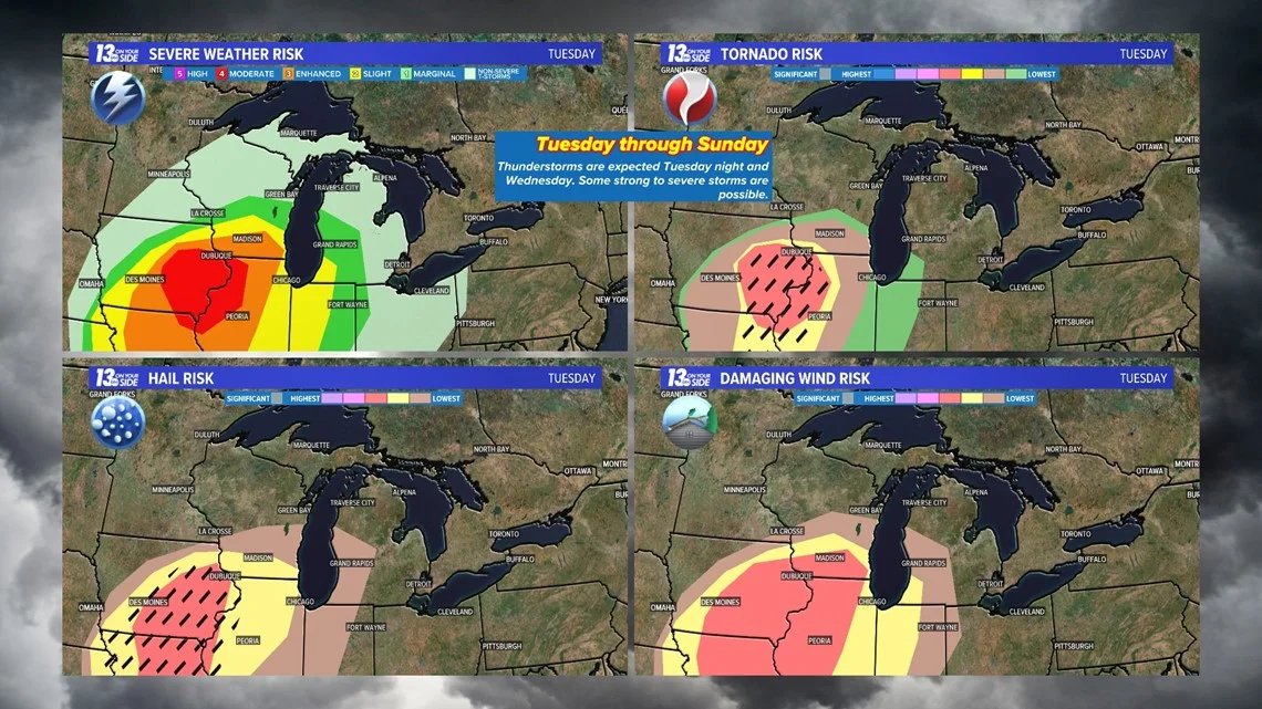
Severe weather is possible in West Michigan from Tuesday afternoon to Wednesday afternoon, with a marginal risk of large hail and damaging winds and a low risk of tornadoes. On Wednesday morning, there is a slight risk of severe weather over Lower Michigan. The High-Resolution Rapid Refresh model shows scattered thunderstorms possible from Muskegon and Newaygo north from 4 to 7 p.m. Tuesday with more widespread showers and thunderstorms north of I-96 overnight into Wednesday morning. Stay weather aware and keep electronic devices charged and safe shelter spaces ready. Share photos and videos safely by texting the word STORM to 616-559-1310.
- Another round of possible severe weather for West Michigan WZZM13.com
- Shower chances lead up to potentially severe storms Wednesday in Metro Detroit WDIV ClickOnDetroit
- Tonight's Forecast: Decent dose of showers with mild temperatures FOX 17 West Michigan News
- Rounds of active weather headed to West Michigan WZZM13.com
- High winds, hail, and isolated tornadoes all possible in mid-Michigan this week WLNS
Reading Insights
Total Reads
0
Unique Readers
7
Time Saved
1 min
vs 2 min read
Condensed
71%
343 → 101 words
Want the full story? Read the original article
Read on WZZM13.com