
"Unusual Severe Weather Event: Two Rounds of Strong Thunderstorms Expected"
TL;DR
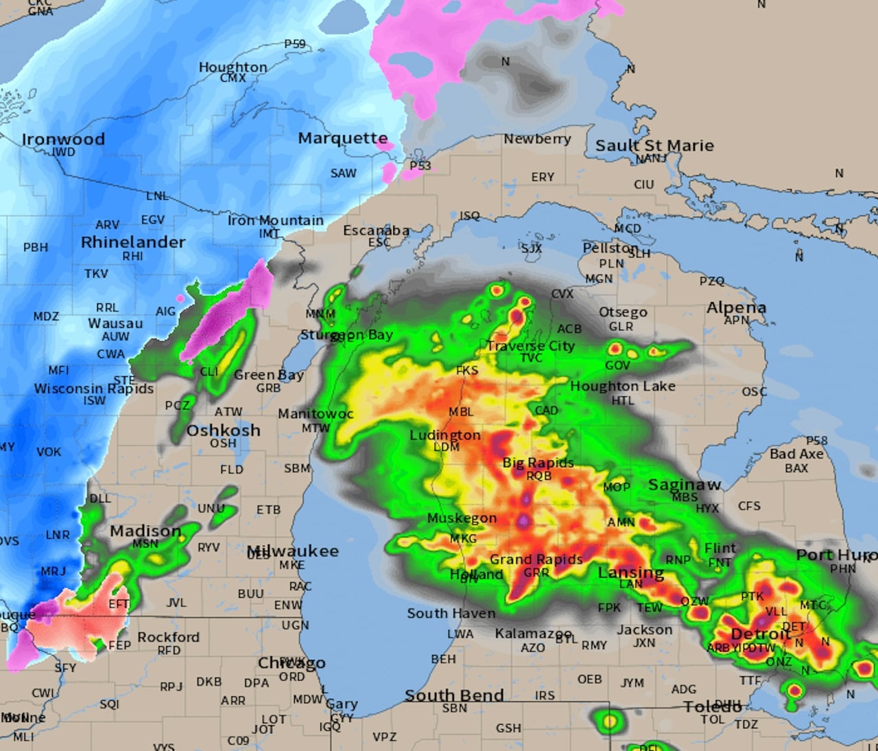
Severe thunderstorms are expected to move across Michigan from southwest to northeast on Tuesday evening and overnight, with the possibility of isolated tornadoes, damaging wind gusts, and large hail up to two inches in diameter. The storms are forecasted to start in southwest Michigan around 8 p.m., expand in coverage and intensity by late evening, and then swing through the Saginaw/Bay City area and into northern Lower Michigan by midnight. Record warmth is expected on Tuesday, with the potential for temperatures near 70 degrees, before a switch to snow showers by Wednesday morning.
- Severe t-storm timeline very distinct now MLive.com
- Record-breaking warmth is making it feel like spring – and will trigger an unusual severe weather event CNN
- Tracking storm threat: Strong to severe storms possible Tuesday into Wednesday WLWT Cincinnati
- First Alert Weather Day Tuesday & Wednesday WNDU
- Two rounds of strong thunderstorms possible through Tuesday night WOODTV.com
Want the full story? Read the original reporting
Read on MLive.com